
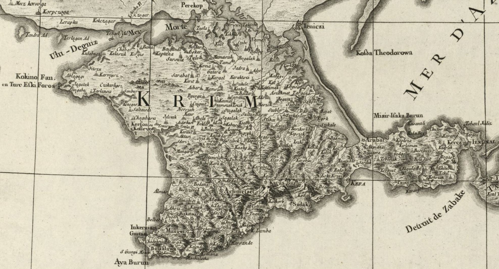
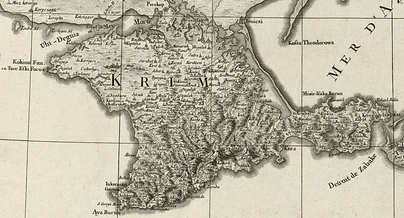
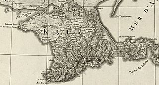
Image: Giovanni Antonio Rizzi Zannoni. Carte de la partie septentrionale de l'empire otoman-Crimée
Size of this preview: 800 × 431 pixels. Other resolutions: 320 × 172 pixels | 1,976 × 1,065 pixels.
Original image (1,976 × 1,065 pixels, file size: 452 KB, MIME type: image/jpeg)
Description: Detail from Map "the northern part of the Ottoman Empire and the Black Sea" by of Giovanni Antonio Rizzi Zannoni (1774)
Title: Giovanni Antonio Rizzi Zannoni. Carte de la partie septentrionale de l'empire otoman-Crimée
Credit: Bibliothèque nationale de France
Author: Giovanni_Antonio_Rizzi_Zannoni._Carte_de_la_partie_septentrionale_de_l'empire_otoman._1774.jpg: Giovanni Antonio Rizzi Zannoni
Usage Terms: Public domain
License: Public domain
Attribution Required?: No
Image usage
The following page links to this image:

All content from Kiddle encyclopedia articles (including the article images and facts) can be freely used under Attribution-ShareAlike license, unless stated otherwise.