
Image: Indonesia Bali location map

Size of this PNG preview of this SVG file: 600 × 600 pixels. Other resolution: 240 × 240 pixels.
Original image (SVG file, nominally 1,250 × 1,250 pixels, file size: 1.83 MB)
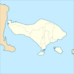
Description: Location map of Bali, Indonesia Geographic Coordinate System WGS 1984 (EPSG: 4326) Equirectangular Projection Geographic limits of the map: N: 7.6553417° S S: 9.2557143° S W: 114.2716993° E E: 115.8720719° E Map data from http://tanahair.indonesia.go.id
Title: Indonesia Bali location map
Credit: Own work
Author: Mandamaruta
Usage Terms: Creative Commons Attribution-Share Alike 4.0
License: CC BY-SA 4.0
License Link: https://creativecommons.org/licenses/by-sa/4.0
Attribution Required?: Yes
Image usage
The following 4 pages link to this image:

All content from Kiddle encyclopedia articles (including the article images and facts) can be freely used under Attribution-ShareAlike license, unless stated otherwise.