
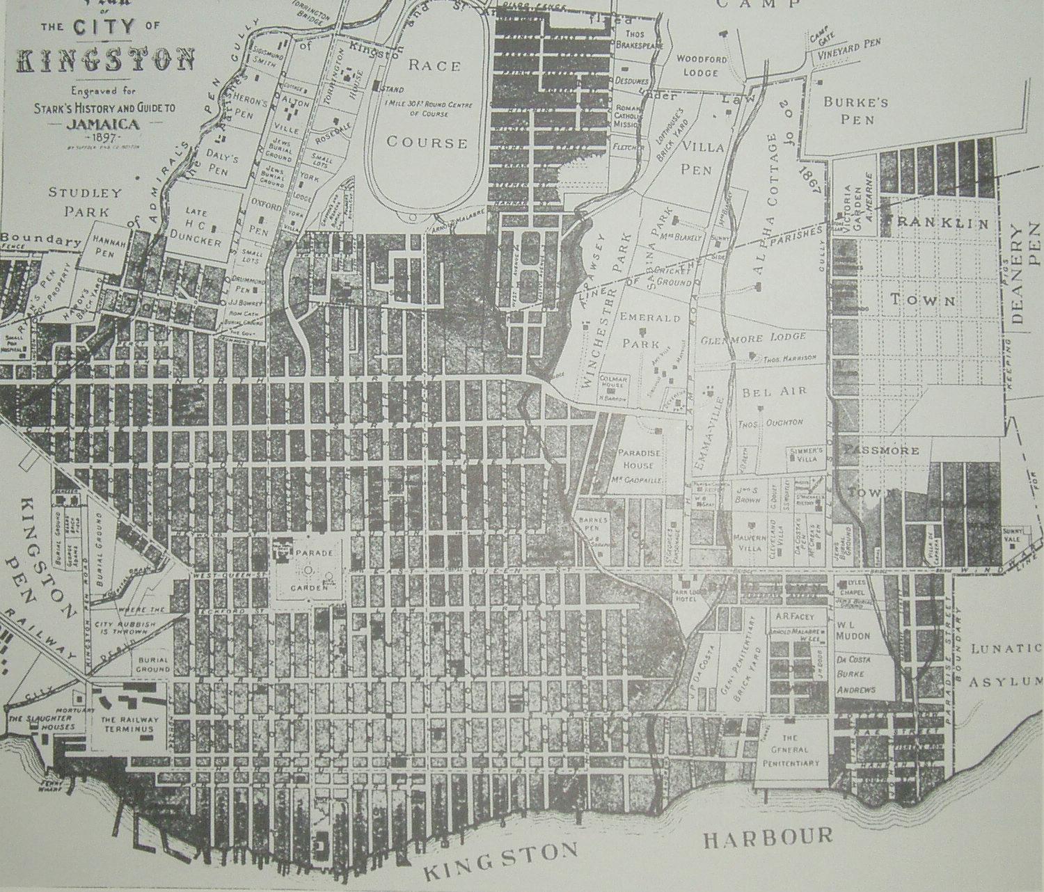
Image: Map Kingston 1897
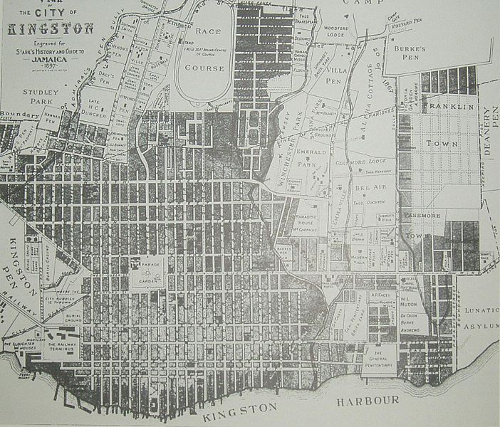
Size of this preview: 702 × 600 pixels. Other resolutions: 281 × 240 pixels | 1,500 × 1,282 pixels.
Original image (1,500 × 1,282 pixels, file size: 409 KB, MIME type: image/jpeg)
Description: map of Kingston Jamaica in the 1890s
Title: Map Kingston 1897
Credit: 1897 map by T.Harrison (died in 1894, 3 years before map printed)
Author: T.Harrison (died in 1894)
Usage Terms: Public domain
License: Public domain
Attribution Required?: No
Image usage
The following page links to this image:

All content from Kiddle encyclopedia articles (including the article images and facts) can be freely used under Attribution-ShareAlike license, unless stated otherwise.