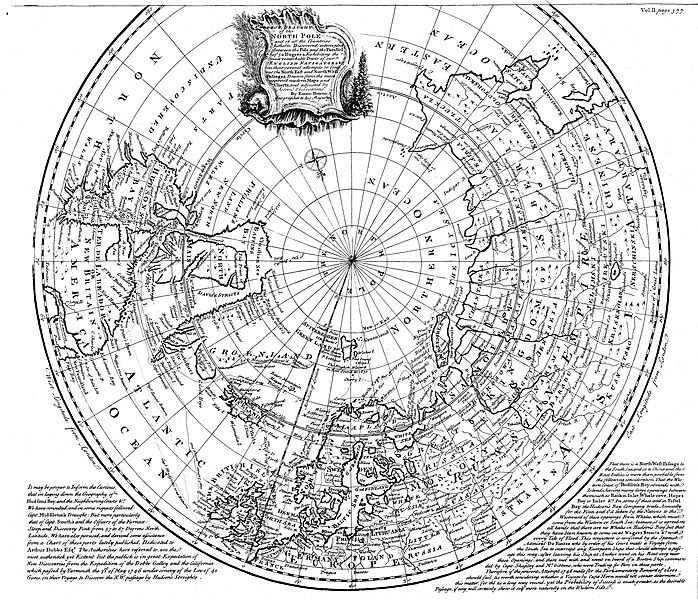
Image: Map of the Arctic, 1780s - B&W

Size of this preview: 698 × 600 pixels. Other resolutions: 279 × 240 pixels | 10,928 × 9,392 pixels.
Original image (10,928 × 9,392 pixels, file size: 16.09 MB, MIME type: image/jpeg)
Description: A map of the Arctic ocean and the surrounding continents, titled "A correct draught of the North Pole and of all the countries hitherto discovered, intercepted between the Pole and the parallel of 50 degrees"
Title: Map of the Arctic, 1780s - B&W
Credit: Memorial University Digital Archives Institute
Author: Emanuel Bowen
Usage Terms: Public domain
License: Public domain
Attribution Required?: No
Image usage
The following page links to this image:

All content from Kiddle encyclopedia articles (including the article images and facts) can be freely used under Attribution-ShareAlike license, unless stated otherwise.
