
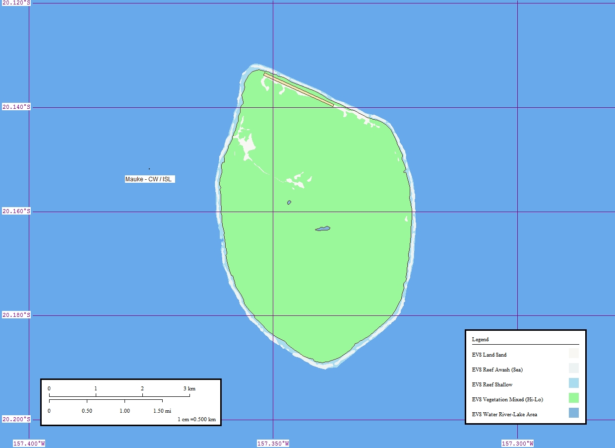
Image: Mauke map
Size of this preview: 800 × 582 pixels. Other resolutions: 320 × 233 pixels | 1,240 × 902 pixels.
Original image (1,240 × 902 pixels, file size: 130 KB, MIME type: image/jpeg)
Description: Map of Mauke (Cook Islands)
Title: Mauke map
Credit: Mauke Atoll - Map
Author: Mr Minton from San Diego, US
Usage Terms: Creative Commons Attribution 2.0
License: CC BY 2.0
License Link: http://creativecommons.org/licenses/by/2.0
Attribution Required?: Yes
Image usage
The following page links to this image:

All content from Kiddle encyclopedia articles (including the article images and facts) can be freely used under Attribution-ShareAlike license, unless stated otherwise.