
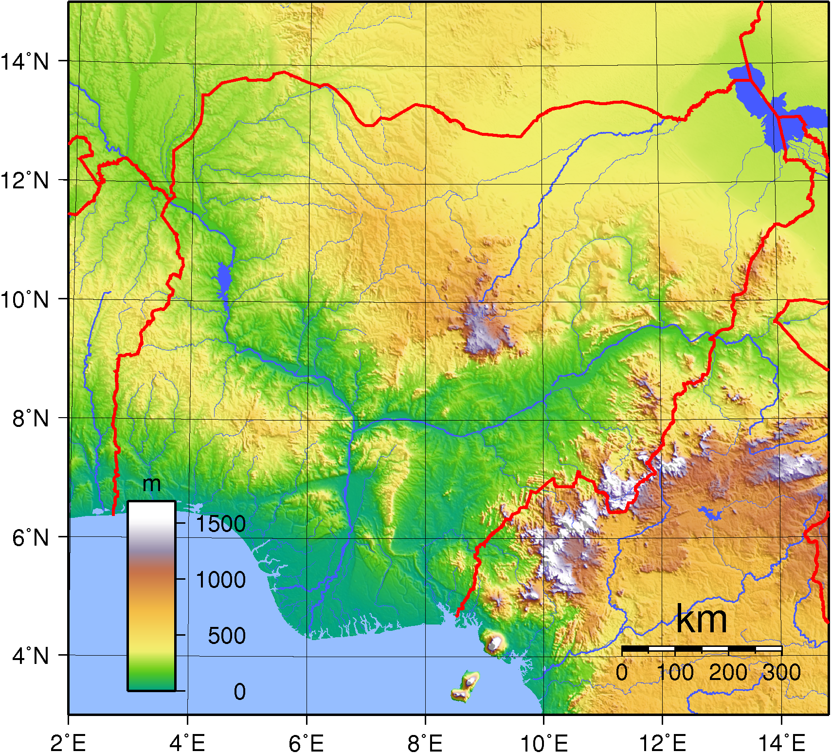
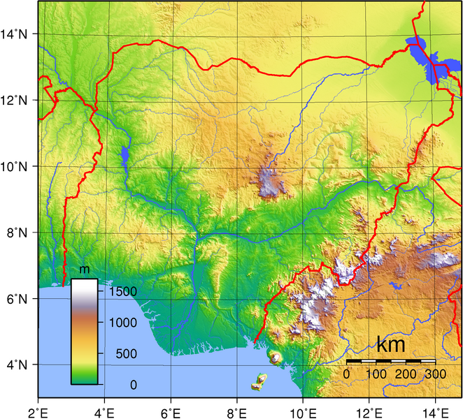
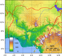
Image: Nigeria Topography
Size of this preview: 662 × 600 pixels. Other resolutions: 265 × 240 pixels | 1,708 × 1,547 pixels.
Original image (1,708 × 1,547 pixels, file size: 3.03 MB, MIME type: image/png)
Description: Topographic map of Nigeria. Created with GMT from public domain GLOBE data.
Usage Terms: Public domain
Image usage
The following page links to this image:

All content from Kiddle encyclopedia articles (including the article images and facts) can be freely used under Attribution-ShareAlike license, unless stated otherwise.