
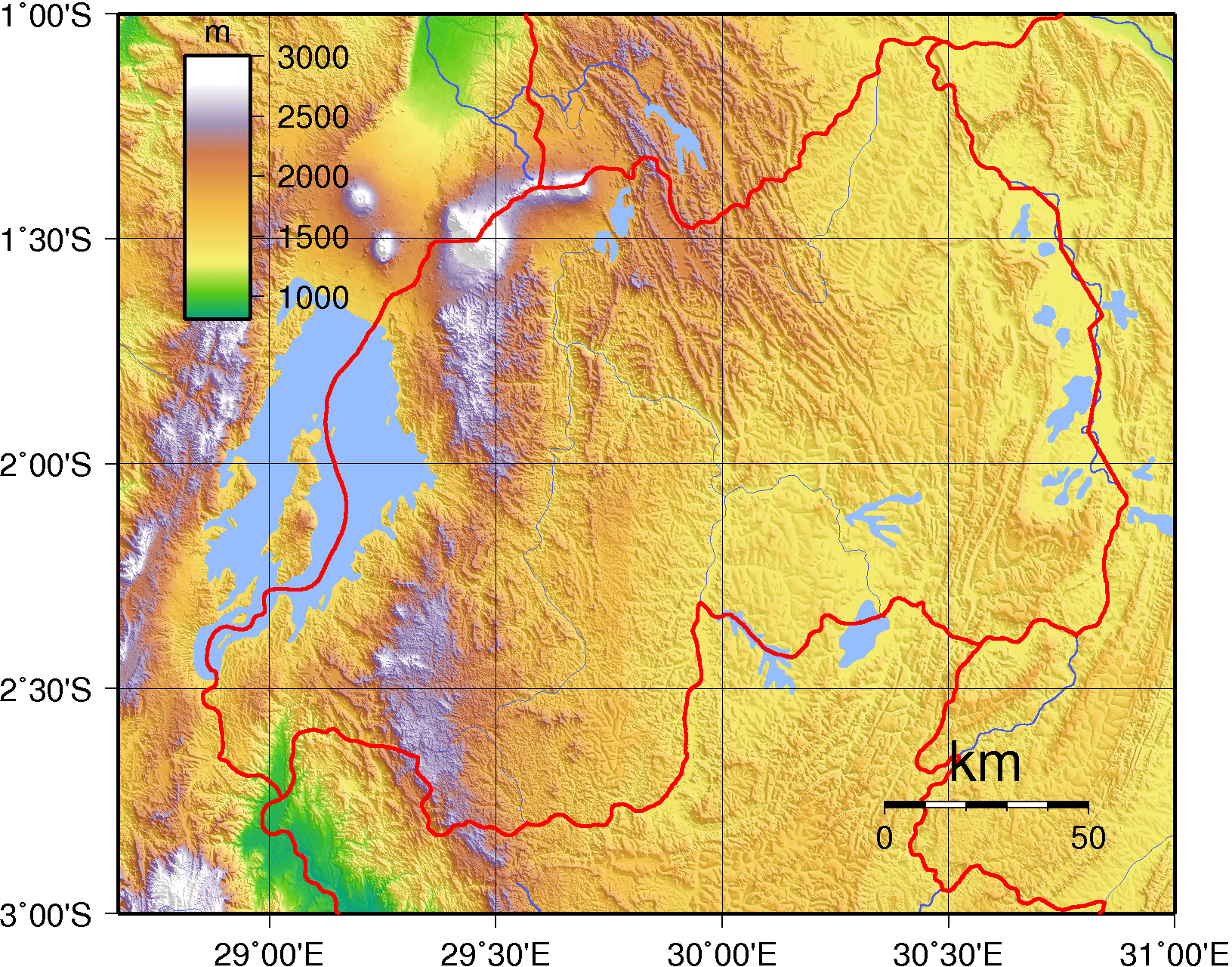
Image: Rwanda Topography
Size of this preview: 764 × 600 pixels. Other resolutions: 306 × 240 pixels | 1,631 × 1,280 pixels.
Original image (1,631 × 1,280 pixels, file size: 1.23 MB, MIME type: image/png)
Description: Topographic map of Rwanda. Created with GMT from publicly released SRTM data.
Title: Rwanda Topography
Credit: Own work
Author: Sadalmelik
Usage Terms: Public domain
License: Public domain
Attribution Required?: No
Image usage
The following page links to this image:

All content from Kiddle encyclopedia articles (including the article images and facts) can be freely used under Attribution-ShareAlike license, unless stated otherwise.