
Image: Soviet empire 1960

Size of this preview: 600 × 600 pixels. Other resolutions: 240 × 240 pixels | 1,000 × 1,000 pixels.
Original image (1,000 × 1,000 pixels, file size: 183 KB, MIME type: image/png)
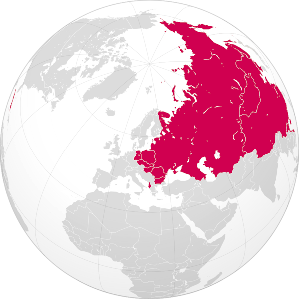
Description: Map showing the maximum territorial extent of countries under the direct influence of the Soviet Union :*Between the Cuban Revolution/21st Congress of the Communist Party of the Soviet Union and the 22nd Congress of the Communist Party of the Soviet Union/Sino-Soviet split.
Title: Soviet empire 1960
Credit: File:Spain_(orthographic_projection).svg
Author: User:MaGioZal
Usage Terms: Creative Commons Attribution-Share Alike 3.0
License: CC BY-SA 3.0
License Link: http://creativecommons.org/licenses/by-sa/3.0
Attribution Required?: Yes
Image usage
The following 7 pages link to this image:

All content from Kiddle encyclopedia articles (including the article images and facts) can be freely used under Attribution-ShareAlike license, unless stated otherwise.