
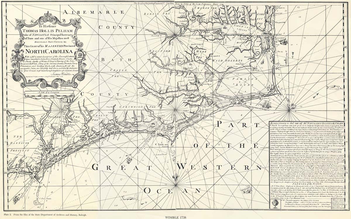
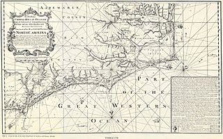
Image: 1738 map of North Carolina
Size of this preview: 800 × 501 pixels. Other resolutions: 320 × 200 pixels | 1,200 × 751 pixels.
Original image (1,200 × 751 pixels, file size: 281 KB, MIME type: image/jpeg)
Description: "Chart of his majestie's province of North Carolina with a full description of the coast, 1738." Courtesy of the North Carolina State Department of Archives and History, Raleigh, North Carolina.
Usage Terms: Public domain
Image usage
The following 3 pages link to this image:

All content from Kiddle encyclopedia articles (including the article images and facts) can be freely used under Attribution-ShareAlike license, unless stated otherwise.