
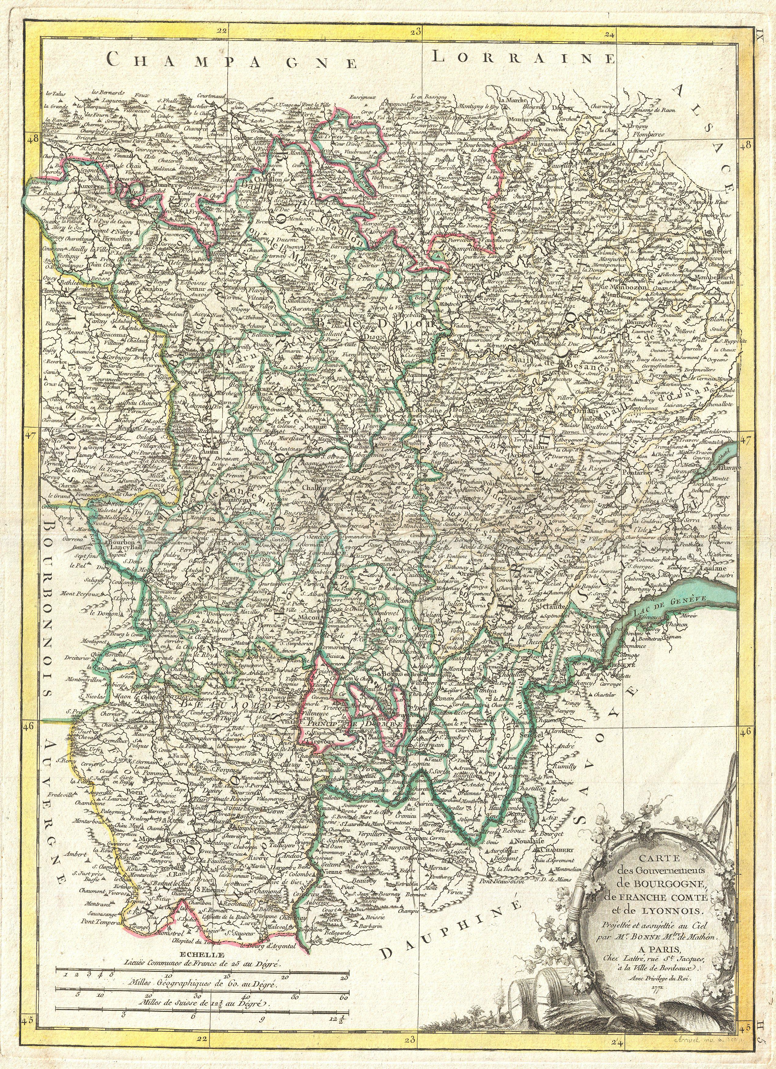
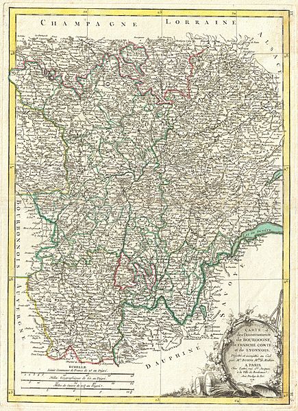
Image: 1771 Bonne Map of Burgundy, Franche-Comté, and Lyonnais, France - Geographicus - Bourgogne-bonne-1771
Description: A beautiful example of Rigobert Bonne's decorative map of the French winemaking region of Burgundy, and the adjacent regions of Franche-Comte and Lyonnais. Covers the region in full from Champagne to Dauphine and from Auvergne to Savoy. This region is famed for producing the world's finest wines. A large decorative title cartouche appears in the lower right quadrant. Drawn by R. Bonne in 1771 for issue as plate no. H 5 in Jean Lattre's 1776 issue of the Atlas Moderne .
Title: Carte des Gouvernements de Bourgogne, de Franche Comte et de Lyonnois.
Credit: This file was provided to Wikimedia Commons by Geographicus Rare Antique Maps, a specialist dealer in rare maps and other cartography of the 15th, 16th, 17th, 18th and 19th centuries, as part of a cooperation project.
Author: Rigobert Bonne
Usage Terms: Public domain
License: Public domain
Attribution Required?: No
Image usage
The following page links to this image:
