
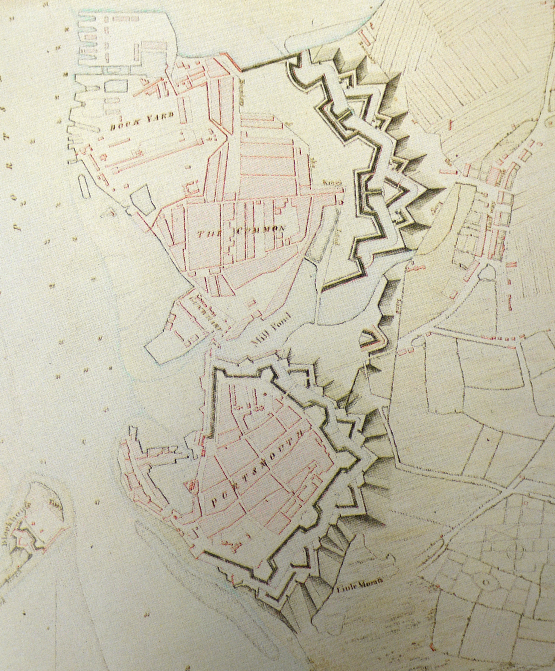
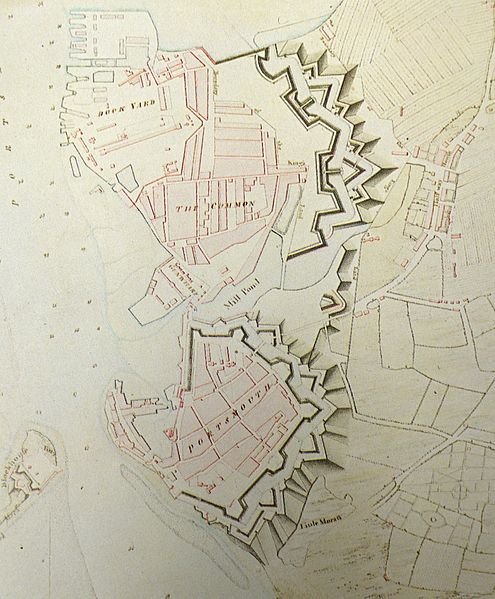
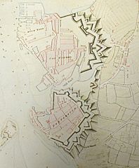
Image: 1773 map of portsmouth showing the town and dock defences
Size of this preview: 495 × 599 pixels. Other resolutions: 198 × 240 pixels | 1,856 × 2,247 pixels.
Original image (1,856 × 2,247 pixels, file size: 2.62 MB, MIME type: image/jpeg)
Description: A drawn plan of the island of Portsea, shewing the present Fortifications of Portsmouth, Gosport, Lines and Out Forts, together with the Works now carrying on to secure the Dock Yard; with the Entrenchments proposed by Major Archer for defending the Island, 1773" per Catalogue of Maps, Prints, Drawings, Etc. v.2 British Museum Dept. of Printer Books, King's Library
Title: 1773 map of portsmouth showing the town and dock defences
Credit: Own work by the original uploader
Author: Unknown
Usage Terms: Public domain
License: Public domain
Attribution Required?: No
Image usage
The following page links to this image:

All content from Kiddle encyclopedia articles (including the article images and facts) can be freely used under Attribution-ShareAlike license, unless stated otherwise.