
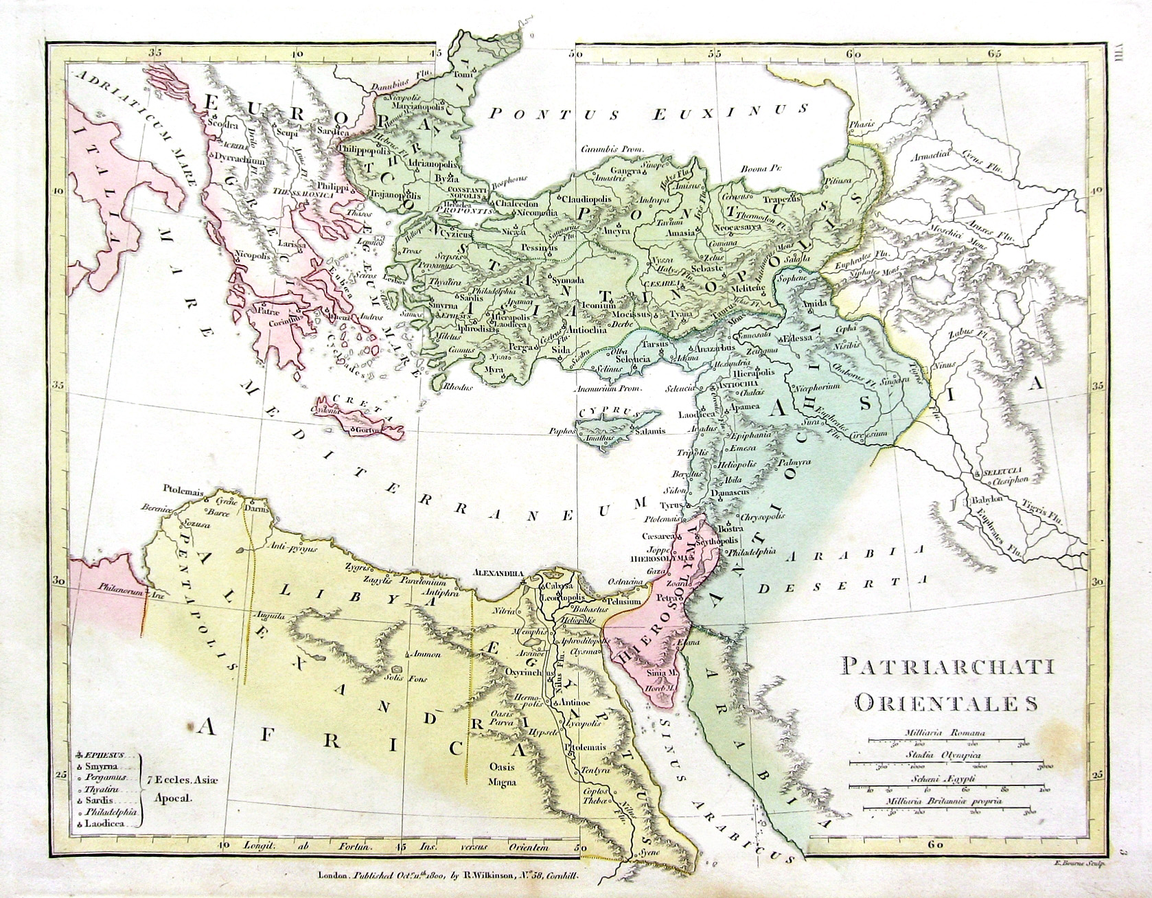
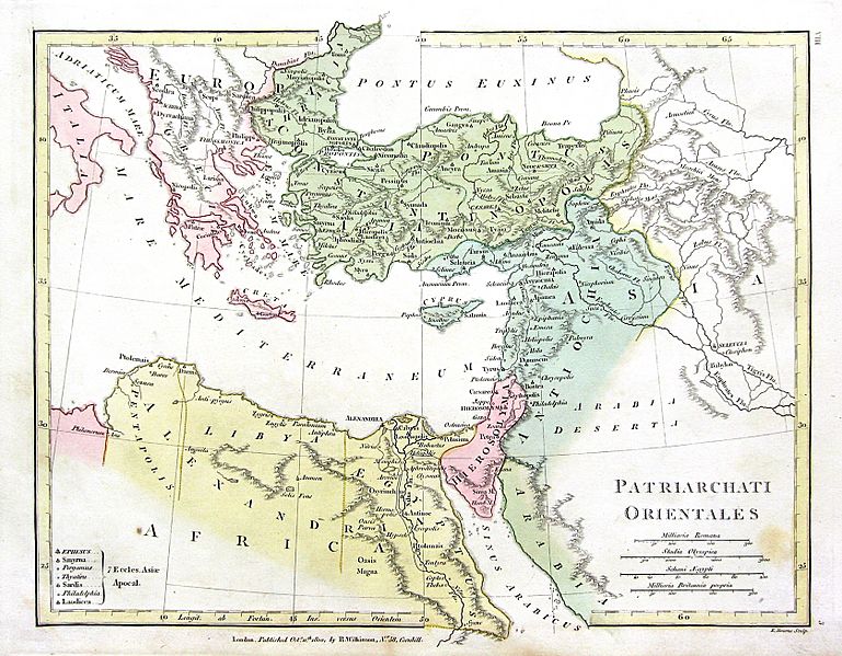
Image: 1800 Wilkinson Map of the 4 Eastern Churches rectified
Size of this preview: 769 × 599 pixels. Other resolutions: 308 × 240 pixels | 1,678 × 1,308 pixels.
Original image (1,678 × 1,308 pixels, file size: 895 KB, MIME type: image/jpeg)
Description: Map of the 4 Eastern Churches in the Pentarchy, circa 500CE
Title: 1800 Wilkinson Map of the 4 Eastern Churches rectified
Credit: 1800_Wilkinson_Map_of_the_4_Eastern_Churches.jpg
Author: 1800_Wilkinson_Map_of_the_4_Eastern_Churches.jpg: Robert Wilkinson (mapmaker). The original uploader was Fredrick Wilhelm at English Wikipedia derivative work: MichaelBueker (talk)
Usage Terms: Public domain
License: Public domain
Attribution Required?: No
Image usage

All content from Kiddle encyclopedia articles (including the article images and facts) can be freely used under Attribution-ShareAlike license, unless stated otherwise.