
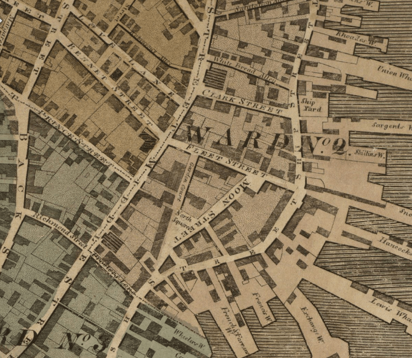
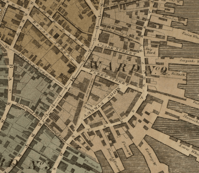
Image: 1814 NorthSquare Boston map Hales
Size of this preview: 691 × 600 pixels. Other resolutions: 277 × 240 pixels | 818 × 710 pixels.
Original image (818 × 710 pixels, file size: 1.08 MB, MIME type: image/png)
Description: Detail of 1814 map of Boston by John Groves Hale, showing North Square, Moon Street, Fleet Street, Prince Street, Love Lane and vicinity.
Title: 1814 NorthSquare Boston map Hales
Credit: Boston Public Library. http://maps.bpl.org/details_12926
Author: Hale
Usage Terms: Public domain
License: Public domain
Attribution Required?: No
Image usage
The following page links to this image:

All content from Kiddle encyclopedia articles (including the article images and facts) can be freely used under Attribution-ShareAlike license, unless stated otherwise.