
Image: 1852 Middlesex Canal (Massachusetts) map
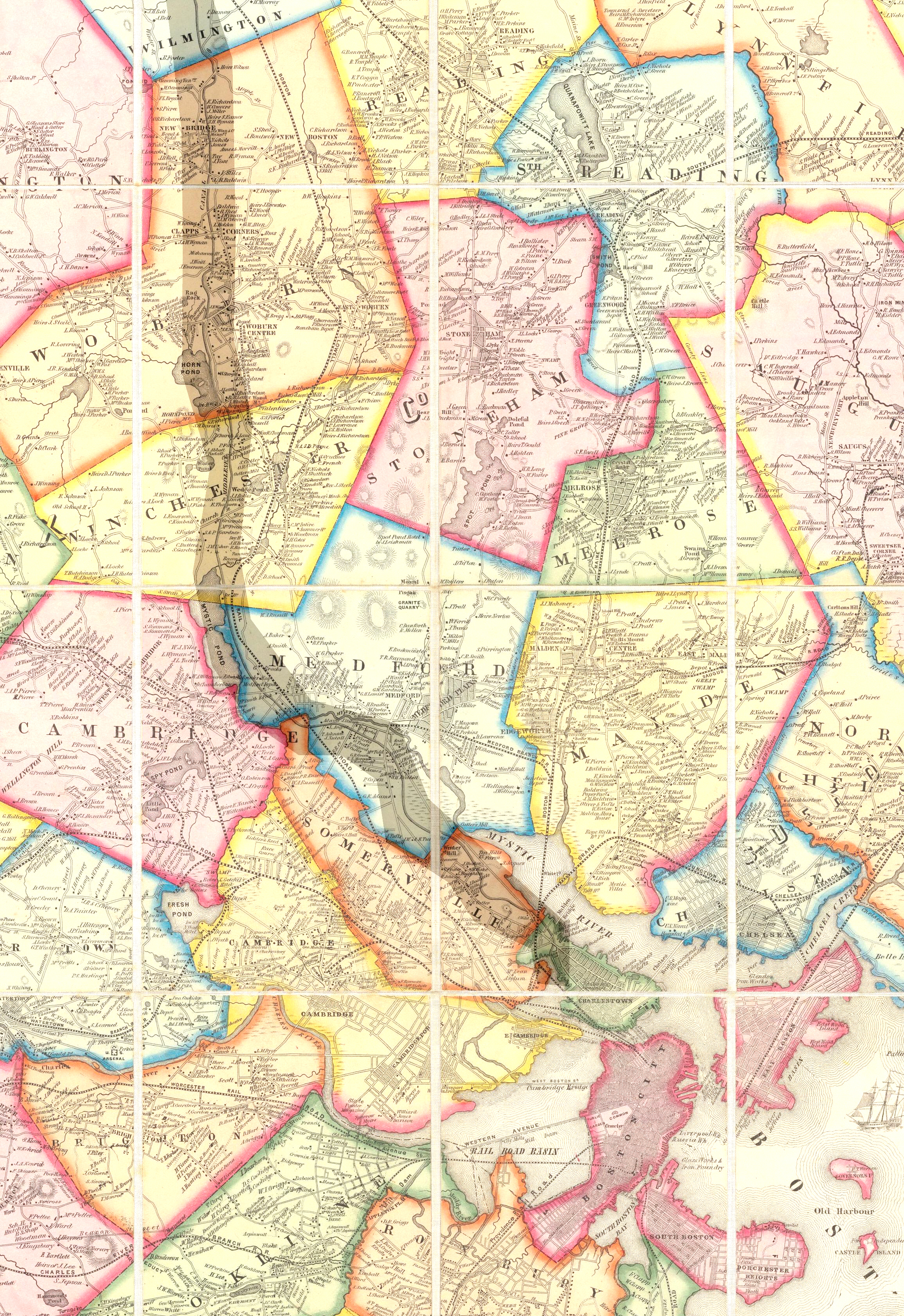
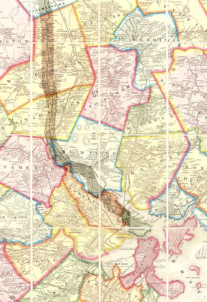
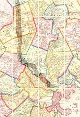
Description: Map of the lower stretch of the Middlesex Canal, north of Boston, Massachusetts, 1852. This map was made about the time the canal was abandoned, some 50 years after its construction was completed.
Title: 1852 Middlesex Canal (Massachusetts) map
Credit: Map entitled "Boston and vicinity", by F. G. Sidney and R. P. Smith, published by J. B. Shields of Boston, 1852. This scan is from the David Rumsey Map Collection, and has been cropped to remove extraneous terrain and digitally enhanced to emphasize the canal's route.
Author: F. G. Sidney and R. P. Smith.
Permission: The following text is taken from the David Rumsey web site: Images copyright © 2000 by Cartography Associates. Images may be reproduced or transmitted, but not for commercial use. For commercial use or commercial republication, contact carto@luna-img.com. This work is licensed under a Creative Commons License.
Usage Terms: Creative Commons Attribution 2.0
License: CC BY 2.0
License Link: http://creativecommons.org/licenses/by/2.0
Attribution Required?: Yes
Image usage
The following 13 pages link to this image:

_map.jpg)