
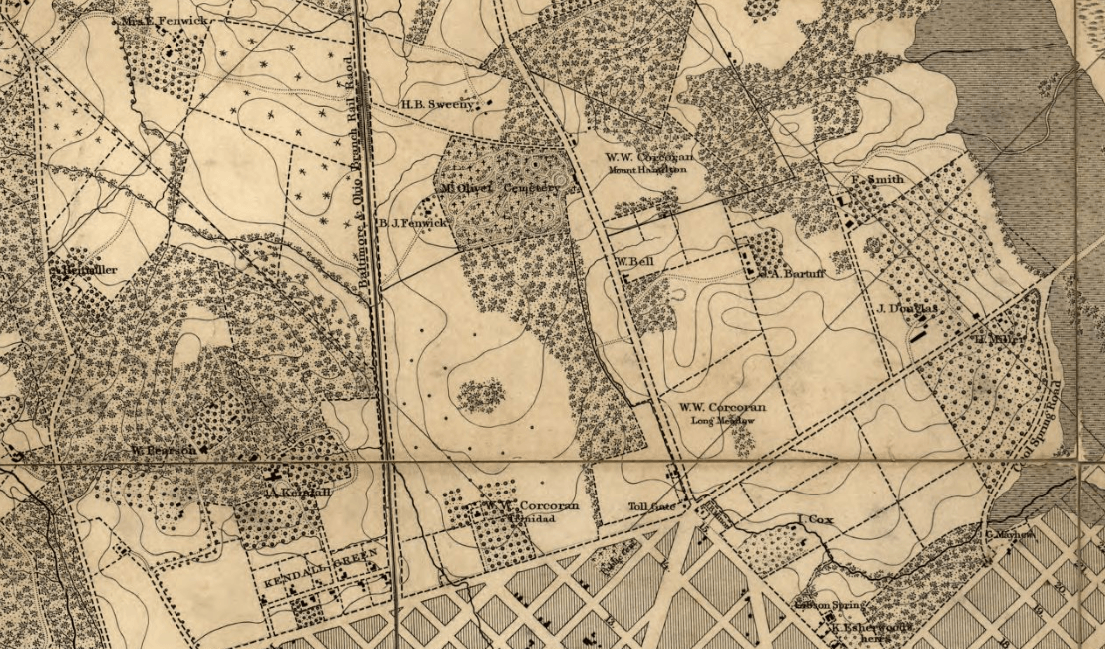
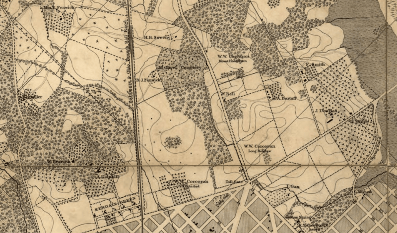
Image: 1861 Map Detail showing the Corcoran properties near Boundary Street NE and H Street NE
Size of this preview: 800 × 470 pixels. Other resolutions: 320 × 188 pixels | 1,105 × 649 pixels.
Original image (1,105 × 649 pixels, file size: 1.87 MB, MIME type: image/png)
Description: 1861 Map Detail showing the Corcoran properties near Boundary Street NE and H Street NE
Title: 1861 Map Detail showing the Corcoran properties near Boundary Street NE and H Street NE
Credit: Library of Congress
Author: Washington : D. McClelland, Blanchard & Mohun, 1861
Usage Terms: Public domain
License: Public domain
Attribution Required?: No
Image usage
The following page links to this image:

All content from Kiddle encyclopedia articles (including the article images and facts) can be freely used under Attribution-ShareAlike license, unless stated otherwise.