
Image: 1867 Beers Map of Yonkers - Tibbetts Brook 02
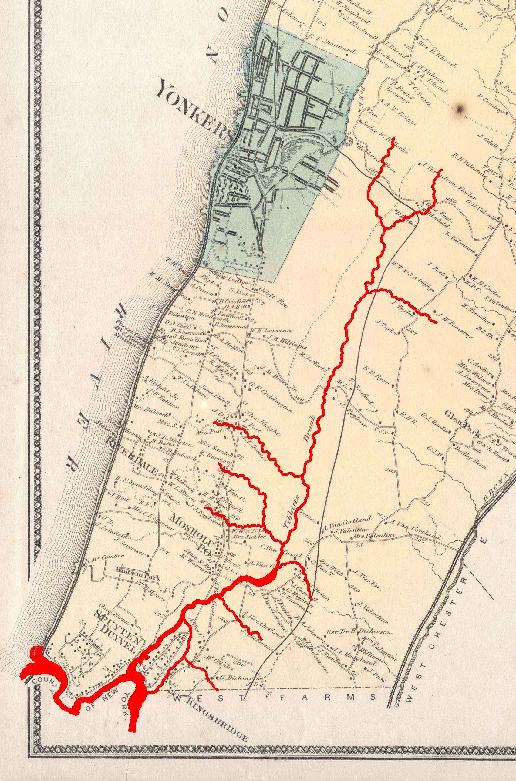
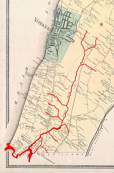
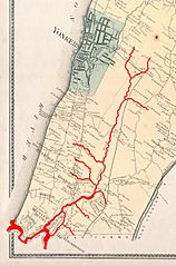
Description: This is the scarce Yonkers sheet from Beers’ 1867 Atlas of Westchester County, New York, showing modern-day Yonkers and Western Bronx. Highlighted in red are the course and various tributaries of Tibbetts Brook, and Spuyten Duyvil Creek which once separated the Bronx and Manhattan island.
Title: 1867 Beers Map of Yonkers - Tibbetts Brook 02
Credit: This file was provided to Wikimedia Commons by Geographicus Rare Antique Maps, a specialist dealer in rare maps and other cartography of the 15th, 16th, 17th, 18th and 19th centuries, as part of a cooperation project.
Author: http://www.geographicus.com/mm5/cartographers/beers.txt (Map) Tdorante10 (Highlighting of river)
Usage Terms: Public domain
License: Public domain
Attribution Required?: No
Image usage
The following page links to this image:
