
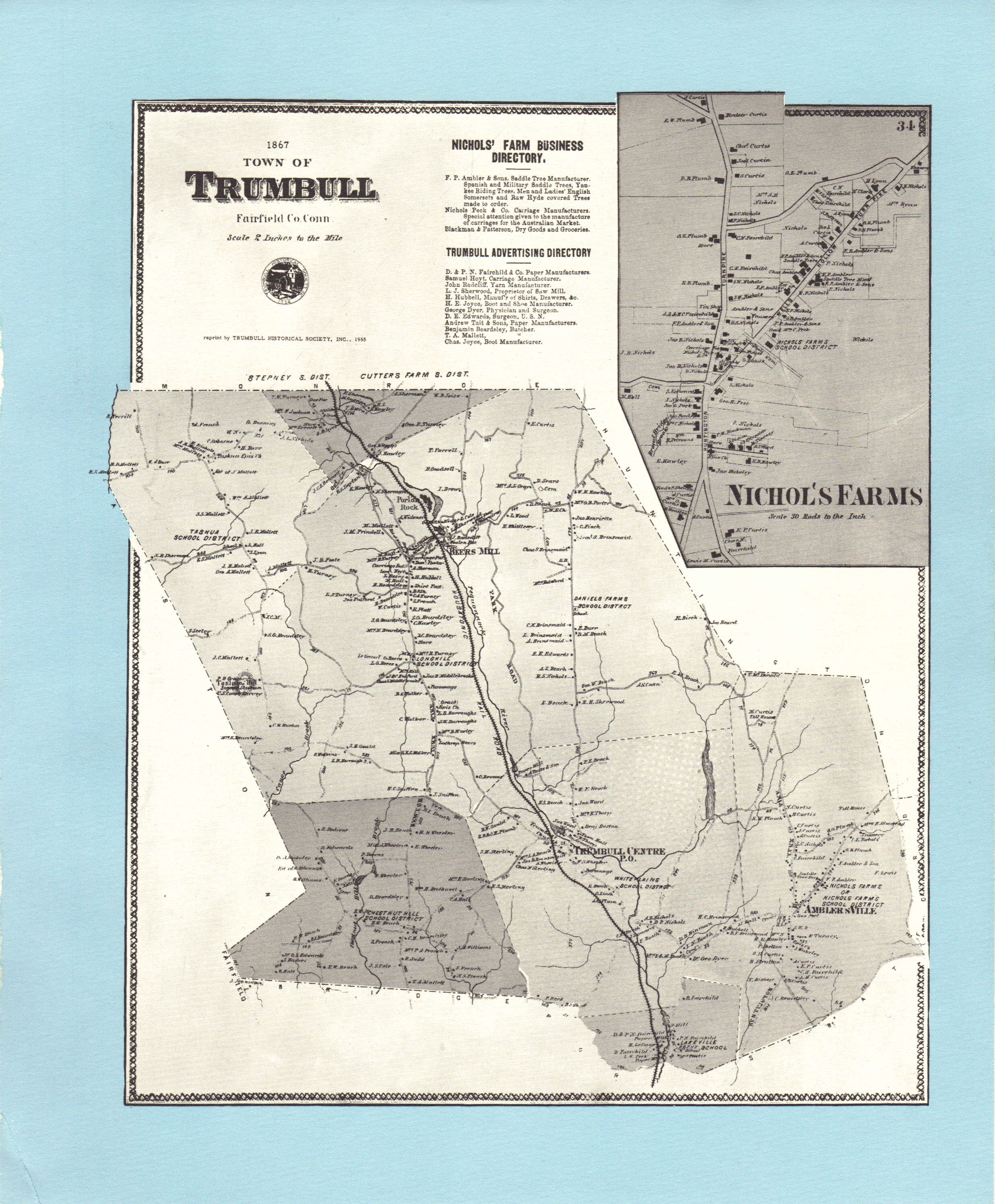
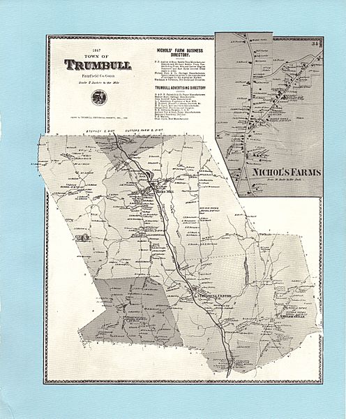
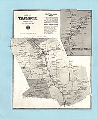
Image: 1867 Map of Trumbull Connecticut
Size of this preview: 496 × 600 pixels. Other resolutions: 198 × 240 pixels | 2,468 × 2,985 pixels.
Original image (2,468 × 2,985 pixels, file size: 12.11 MB, MIME type: image/jpeg)
Description: Map Trumbull, Connecticut 1867
Title: 1867 Map of Trumbull Connecticut
Credit: Atlas of New York and Vicinity, Plate 34, "Town of Trumbull, Fairfield Co. Conn"
Author: F.W. Beers, A.D. Ellis & G.C. Soule
Usage Terms: Public domain
License: Public domain
Attribution Required?: No
Image usage
The following page links to this image:

All content from Kiddle encyclopedia articles (including the article images and facts) can be freely used under Attribution-ShareAlike license, unless stated otherwise.