
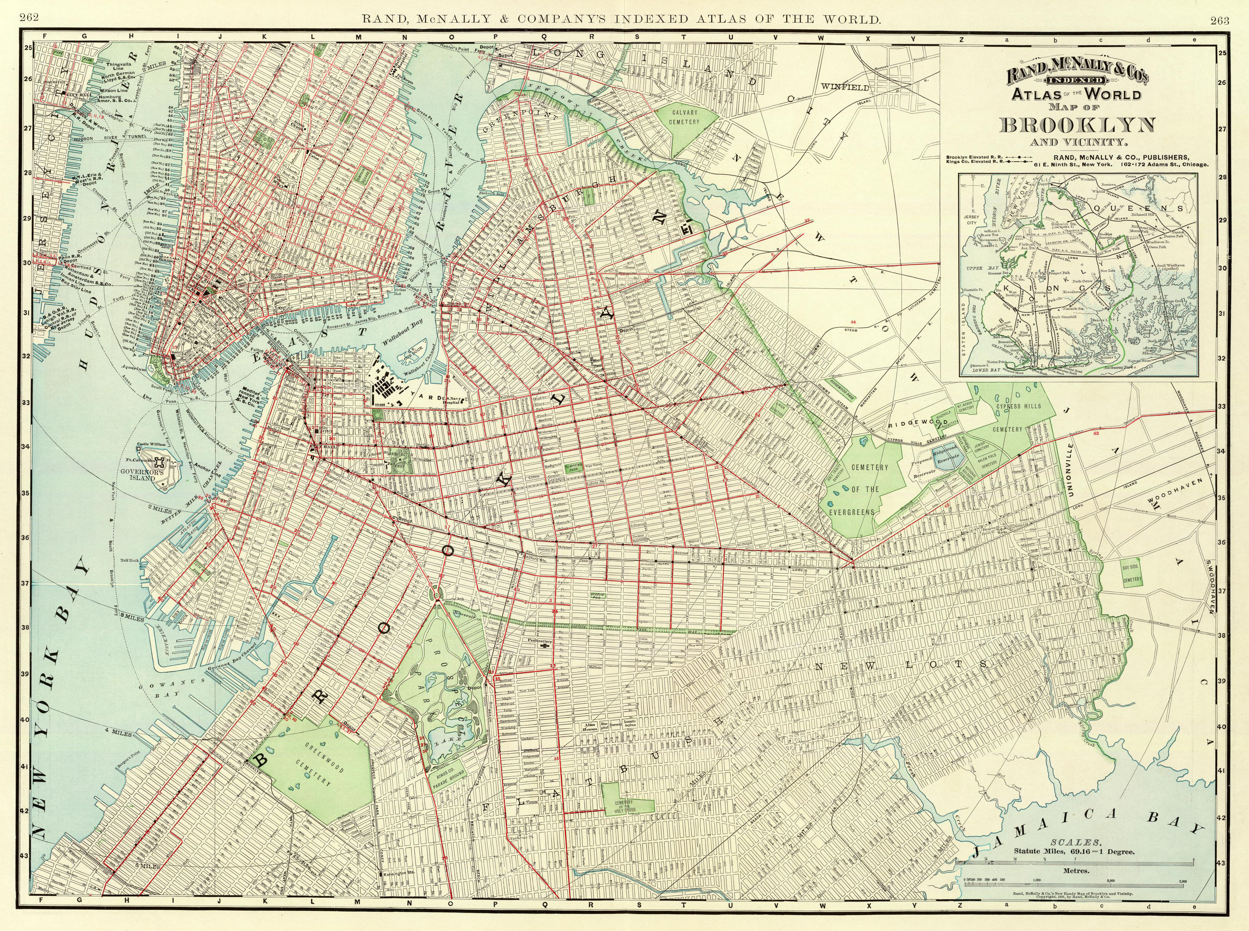
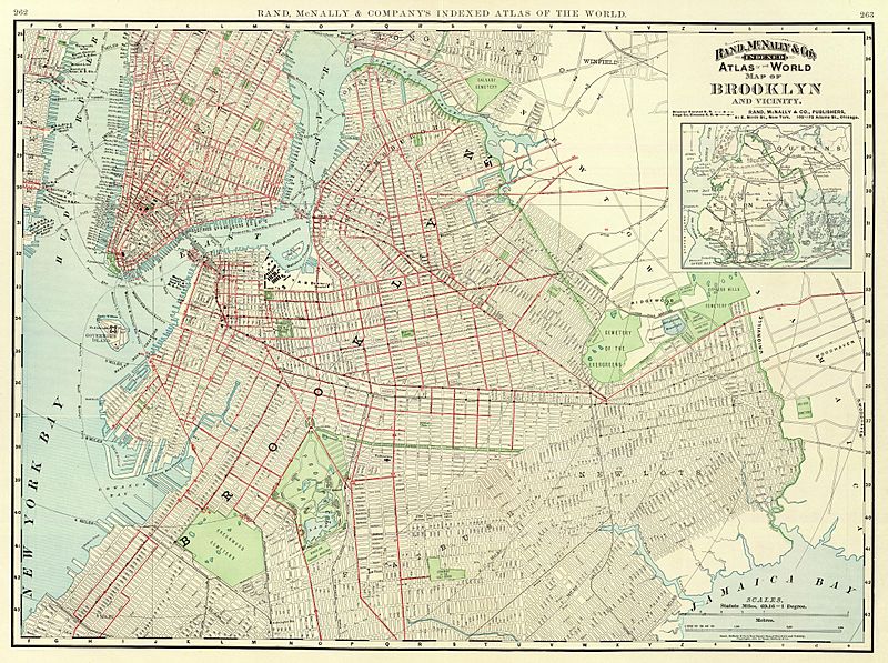
Image: 1897 Brooklyn map
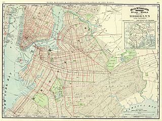
Size of this preview: 800 × 597 pixels. Other resolutions: 320 × 239 pixels | 4,134 × 3,084 pixels.
Original image (4,134 × 3,084 pixels, file size: 4.48 MB, MIME type: image/jpeg)
Description: Map of Brooklyn and vicinity published by Rand McNally in 1897 as part of their Atlas of the World.
Title: 1897 Brooklyn map
Credit: David Rumsey Collection
Author: Rand McNally
Usage Terms: Public domain
License: Public domain
Attribution Required?: No
Image usage
The following page links to this image:

All content from Kiddle encyclopedia articles (including the article images and facts) can be freely used under Attribution-ShareAlike license, unless stated otherwise.