
Image: 1910 Sanborn Fire Insurance Map - Putnum Block - Davenport, Iowa
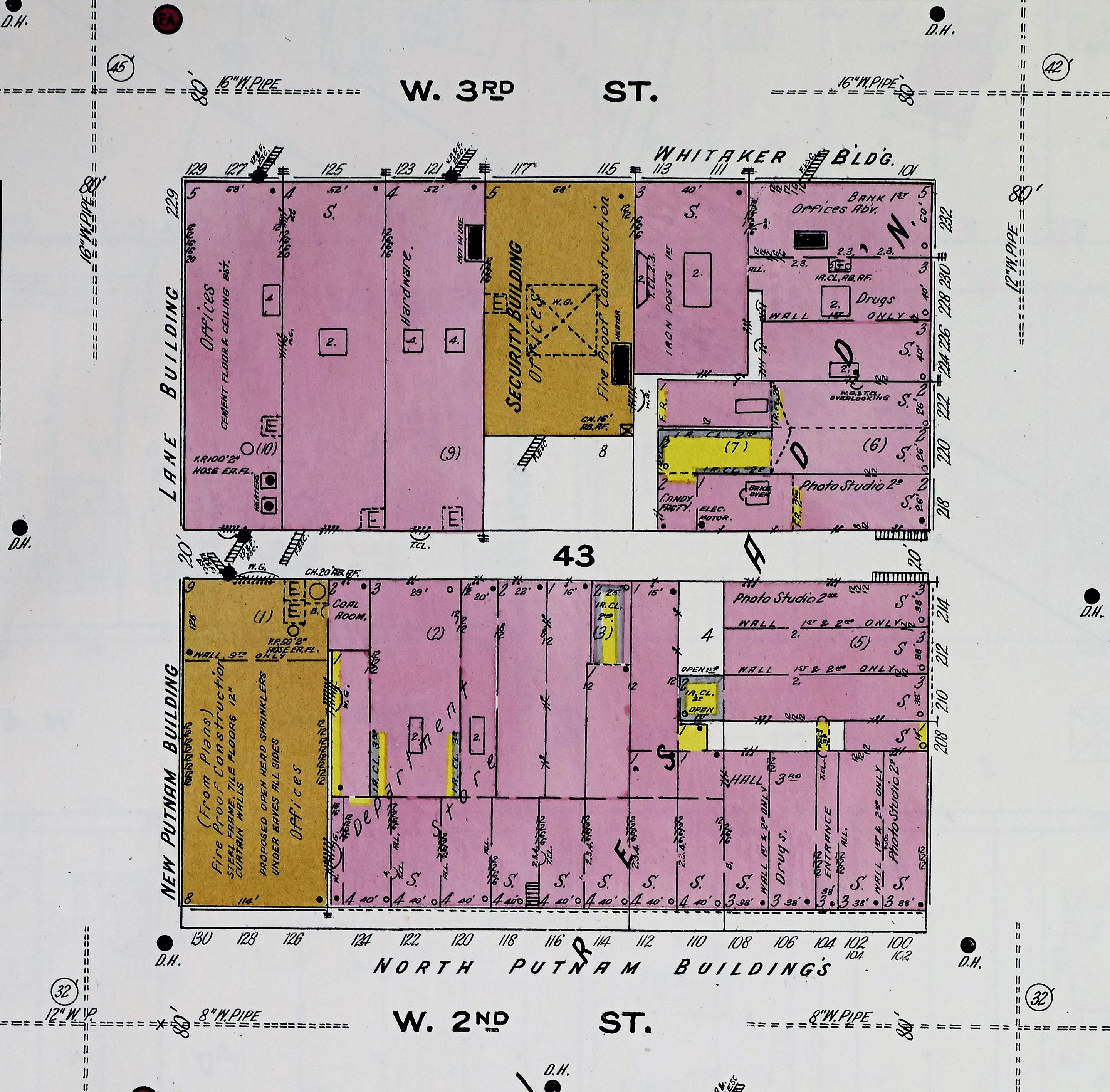
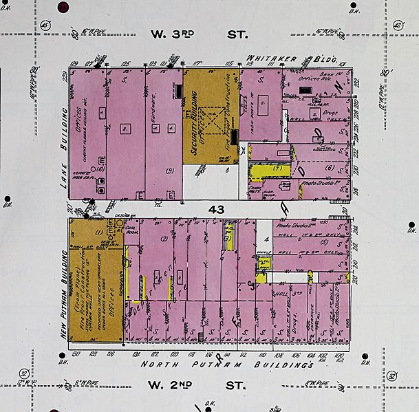
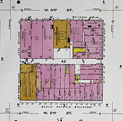
Description: A 1910 Sanborn Fire Insurance Map cropped to show a commercial block in Downtown Davenport, Iowa, United States. The lower half of the block is where the Putnam-Parker Block is presently located. The Putnum Building (gold) is on the left side of the block. The rest of the half-block (pink) are the North Putmun Buildings, no longer extant, built by city founder Antoine Le Claire. The buildings on the north side of the block are also no longer extant.
Title: 1910 Sanborn Fire Insurance Map - Putnum Block - Davenport, Iowa
Credit: File:Sanborn_Fire_Insurance_Map_from_Davenport,_Scott_County,_Iowa._LOC_sanborn02624_004-21.jpg
Author: Unknown authorUnknown author
Permission: This map is available from the United States Library of Congress's Geography & Map Division under the digital ID g4154dm.g026241892. This tag does not indicate the copyright status of the attached work. A normal copyright tag is still required. See Commons:Licensing for more information.
Usage Terms: Public domain
License: Public domain
Attribution Required?: No
Image usage
The following page links to this image:
