
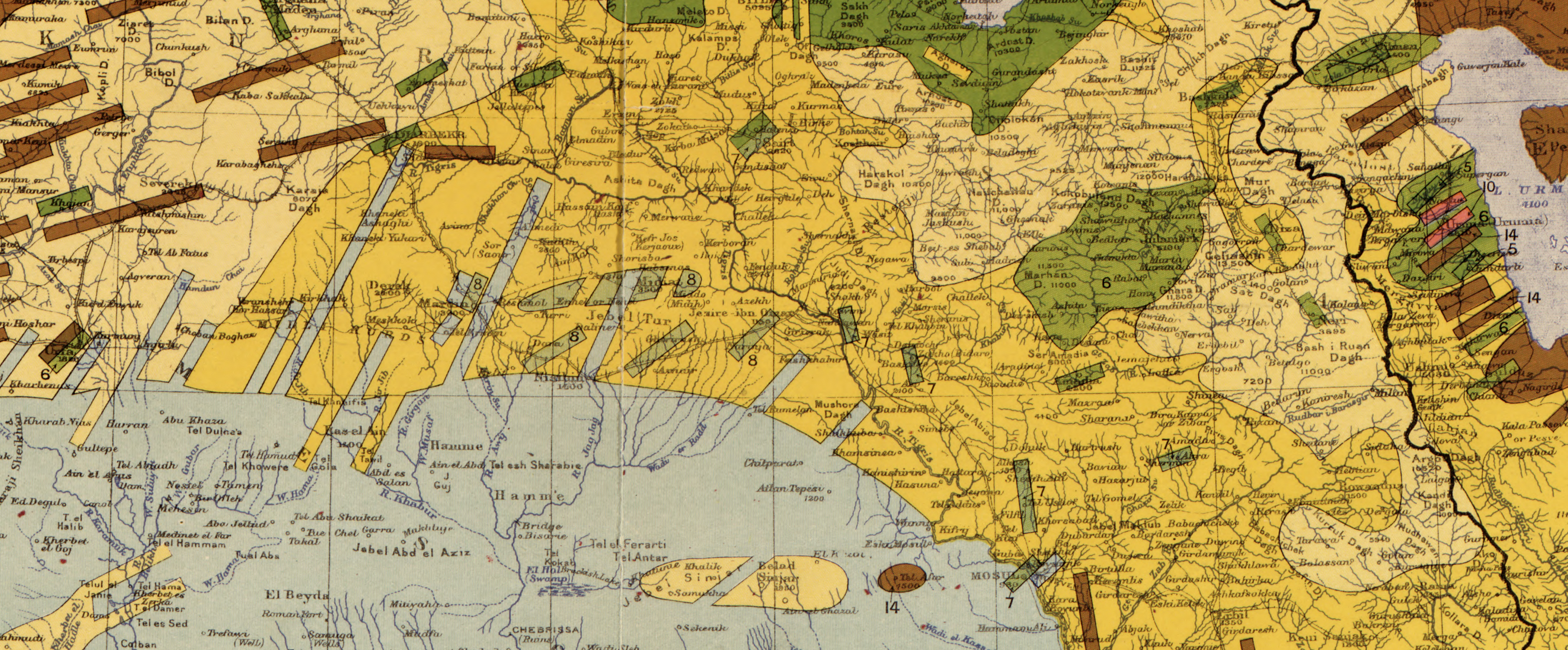
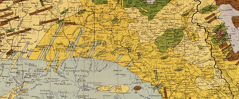
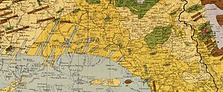
Image: 1910 map showing "Nestorians" (6), "Chaldeans" (7) and "Jacobites" (8), in Maunsell's map, Pre-World War I British Ethnographical Map of eastern Turkey in Asia, Syria and western Persia 01 (cropped)
Size of this preview: 800 × 332 pixels. Other resolutions: 320 × 133 pixels | 3,774 × 1,564 pixels.
Original image (3,774 × 1,564 pixels, file size: 8.28 MB, MIME type: image/jpeg)
Description: Key Maunsell's map, Pre-World War I British Ethnographical Map of eastern Turkey in Asia, Syria and western Persia
Title: 1910 map showing "Nestorians" (6), "Chaldeans" (7) and "Jacobites" (8), in Maunsell's map, Pre-World War I British Ethnographical Map of eastern Turkey in Asia, Syria and western Persia 01 (cropped)
Credit: Library of Congress: https://www.loc.gov/resource/g7431e.ct002182/?r=-0.507,0.215,1.553,0.83,0
Author: Lieutenant Colonel Francis Richard Maunsell (1861 - 1936) [1][2]
Usage Terms: Public domain
License: Public domain
Attribution Required?: No
Image usage
The following page links to this image:

All content from Kiddle encyclopedia articles (including the article images and facts) can be freely used under Attribution-ShareAlike license, unless stated otherwise.