
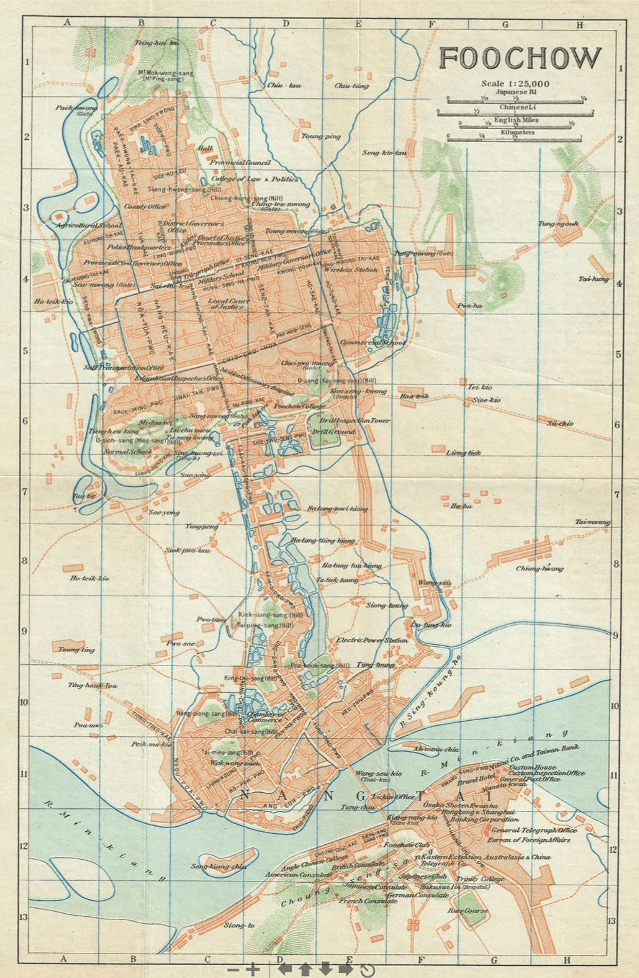
Image: 1924 Imperial Japanese Railway Map of Foochow or Fuzhou, Fujian Province, China
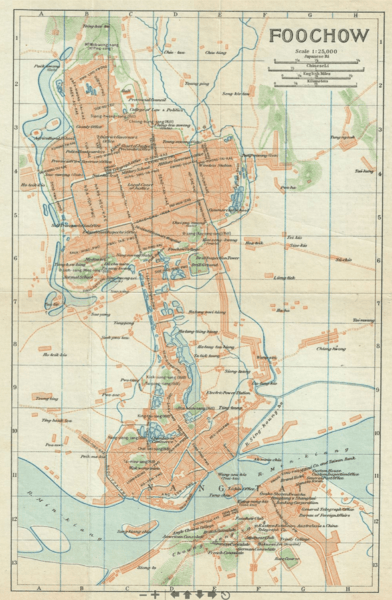
Size of this preview: 392 × 600 pixels. Other resolutions: 157 × 240 pixels | 1,242 × 1,901 pixels.
Original image (1,242 × 1,901 pixels, file size: 4.86 MB, MIME type: image/png)
Description: A beautiful 1924 map of Foo-Chow or Fuzhou by the Imperial Japanese Government Railways. The map covers Fuzhou, the capital and largest city in the Fujian province, in great detail, noting streets, rivers, islands, towns, and topography. This map was issued as part of the 1924 Official Series Vol. D of the Guide to China and printed at the Toppan Printing Company.
Title: 1924 Imperial Japanese Railway Map of Foochow or Fuzhou, Fujian Province, China
Credit: 1924 Imperial Japanese Railway Map of Foochow or Fuzhou, Fujian Province, China
Author: Japanese Government Railways
Usage Terms: Public domain
License: Public domain
Attribution Required?: No
Image usage
The following page links to this image:

All content from Kiddle encyclopedia articles (including the article images and facts) can be freely used under Attribution-ShareAlike license, unless stated otherwise.