
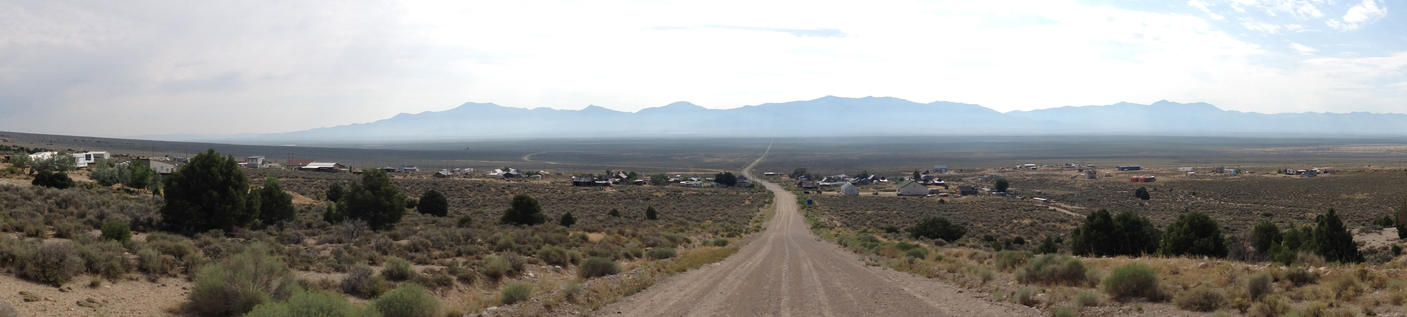
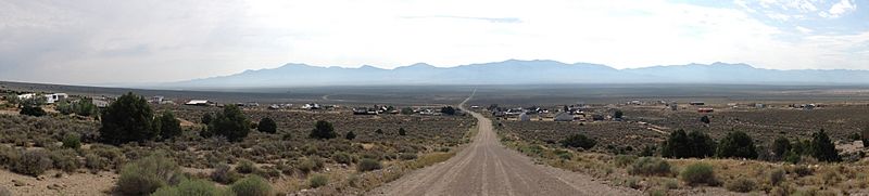
Image: 2014-08-09 09 34 30 Panorama of Cherry Creek, Nevada from White Pine County Route 21 just to the west, looking east, with former Nevada State Route 489 (Cherry Creek Road)-cropped
Size of this preview: 800 × 181 pixels. Other resolutions: 320 × 72 pixels | 4,918 × 1,110 pixels.
Original image (4,918 × 1,110 pixels, file size: 2.2 MB, MIME type: image/jpeg)
Description: Panorama of Cherry Creek, Nevada from White Pine County Route 21 just to the west, looking east, with former Nevada State Route 489 (Cherry Creek Road)-cropped
Title: 2014-08-09 09 34 30 Panorama of Cherry Creek, Nevada from White Pine County Route 21 just to the west, looking east, with former Nevada State Route 489 (Cherry Creek Road)-cropped
Credit: Own work
Author: Famartin
Usage Terms: Creative Commons Attribution-Share Alike 4.0
License: CC BY-SA 4.0
License Link: http://creativecommons.org/licenses/by-sa/4.0
Attribution Required?: Yes
Image usage
The following page links to this image:

All content from Kiddle encyclopedia articles (including the article images and facts) can be freely used under Attribution-ShareAlike license, unless stated otherwise.
-cropped.jpg)