
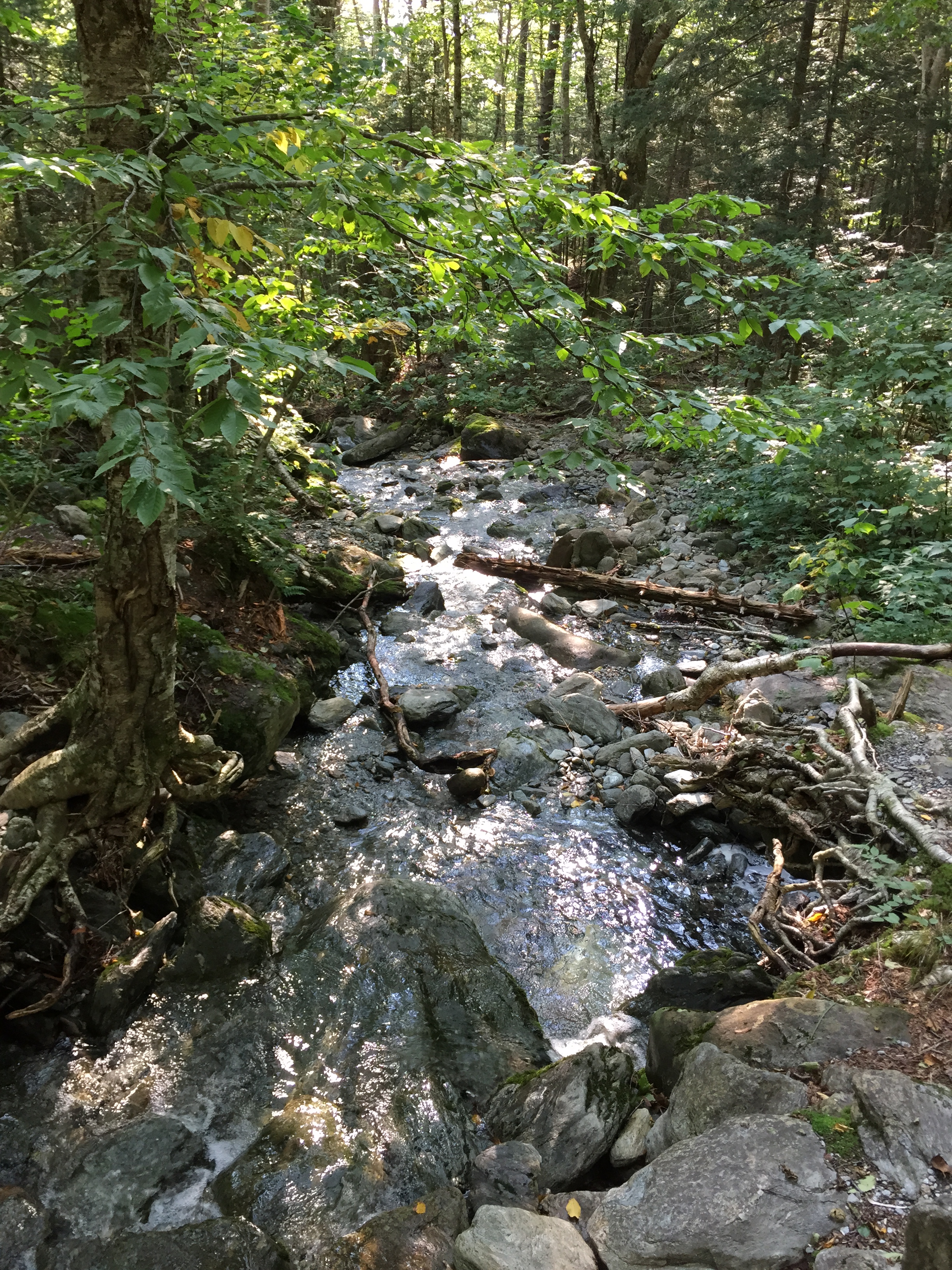
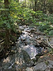
Image: 2017-09-11 15 49 42 View west-southwest down the Browns River from the Sunset Ridge Trail at about 2,320 feet above sea level on the western slopes of Mount Mansfield in Underhill, Chittenden County, Vermont
Size of this preview: 450 × 600 pixels. Other resolutions: 180 × 240 pixels | 2,448 × 3,264 pixels.
Original image (2,448 × 3,264 pixels, file size: 4.11 MB, MIME type: image/jpeg)
Description: View west-southwest down the Browns River from the Sunset Ridge Trail at about 2,320 feet above sea level on the western slopes of Mount Mansfield in Underhill, Chittenden County, Vermont
Title: 2017-09-11 15 49 42 View west-southwest down the Browns River from the Sunset Ridge Trail at about 2,320 feet above sea level on the western slopes of Mount Mansfield in Underhill, Chittenden County, Vermont
Credit: Own work
Author: Famartin
Usage Terms: Creative Commons Attribution-Share Alike 4.0
License: CC BY-SA 4.0
License Link: https://creativecommons.org/licenses/by-sa/4.0
Attribution Required?: Yes
Image usage
The following page links to this image:

All content from Kiddle encyclopedia articles (including the article images and facts) can be freely used under Attribution-ShareAlike license, unless stated otherwise.