
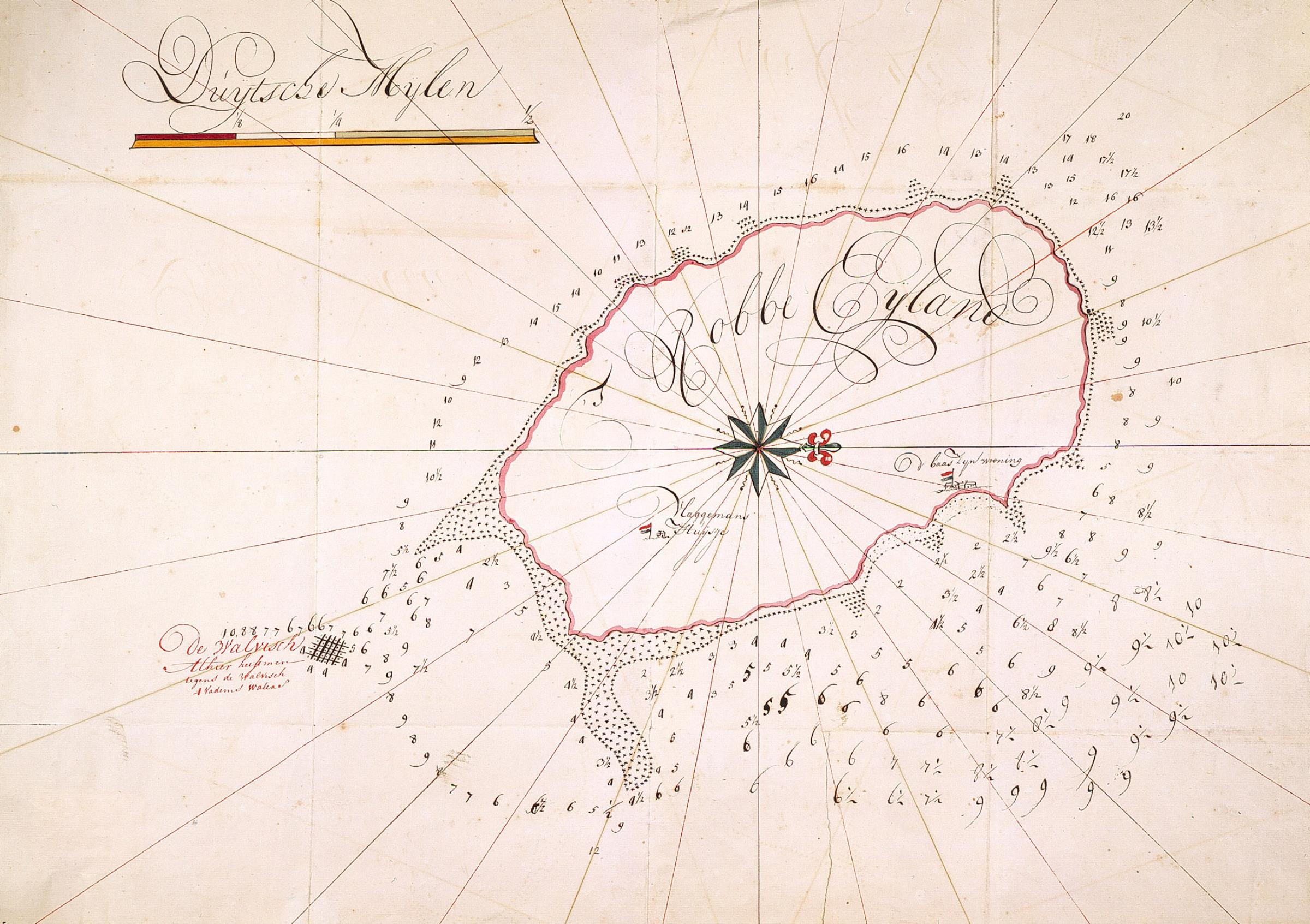
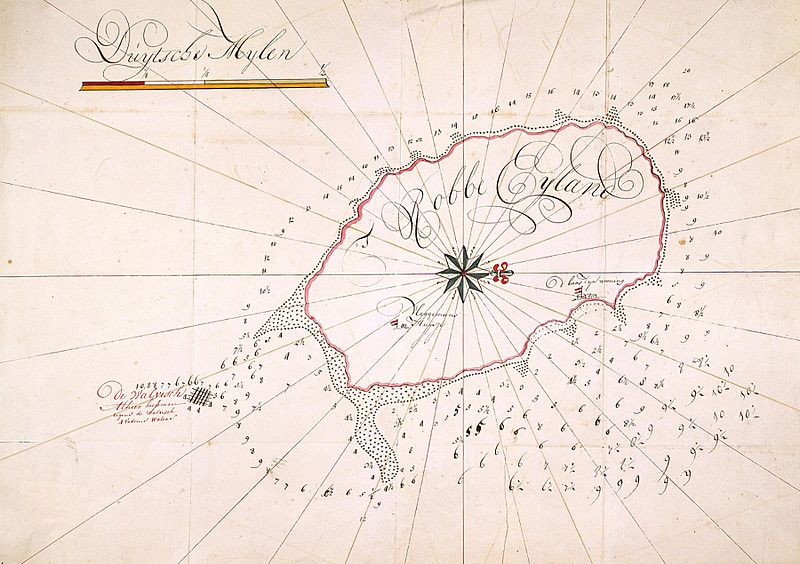
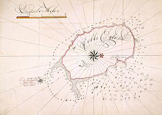
Image: AMH-2554-NA Map of Robben Island
Description: According to the Leupe catalogue (NA), the original title reads: Kaart van het Robben Eyland met opgave der dieptens enz.. The chart marks the location where the ship 'De Walvis' sank. Terms indicated on the chart: Baaswoning en vlaggemanshuisje.
Title: Map of Robben Island
Credit: ATLAS OF MUTUAL HERITAGE This is an image from the Atlas of Mutual Heritage and the Nationaal Archief, the Dutch National Archives. The metadata of this file is public domain under a Creative Commons Public Domain Dedication (CC-ZERO). This permission has been archived as ticket #2014051410008887 English | Suomi | +/− Source at the Atlas of Mutual Heritage - Source at the Nationaal Archief
Author: Anoniem / Anonymous
Permission: This is a faithful photographic reproduction of a two-dimensional, public domain work of art. The work of art itself is in the public domain for the following reason: This work is in the public domain in its country of origin and other countries and areas where the copyright term is the author's life plus 100 years or less. You must also include a United States public domain tag to indicate why this work is in the public domain in the United States. This file has been identified as being free of known restrictions under copyright law, including all related and neighboring rights. The official position taken by the Wikimedia Foundation is that "faithful reproductions of two-dimensional public domain works of art are public domain". This photographic reproduction is therefore also considered to be in the public domain in the United States. In other jurisdictions, re-use of this content may be restricted; see Reuse of PD-Art photographs for details.
Usage Terms: Public domain
License: Public domain
Attribution Required?: No
Image usage
The following page links to this image:
