
Image: ATLAS OR NORTHEASTERN VIRGINIA MAP 1

Size of this preview: 800 × 486 pixels. Other resolutions: 320 × 194 pixels | 11,177 × 6,791 pixels.
Original image (11,177 × 6,791 pixels, file size: 11.46 MB, MIME type: image/jpeg)
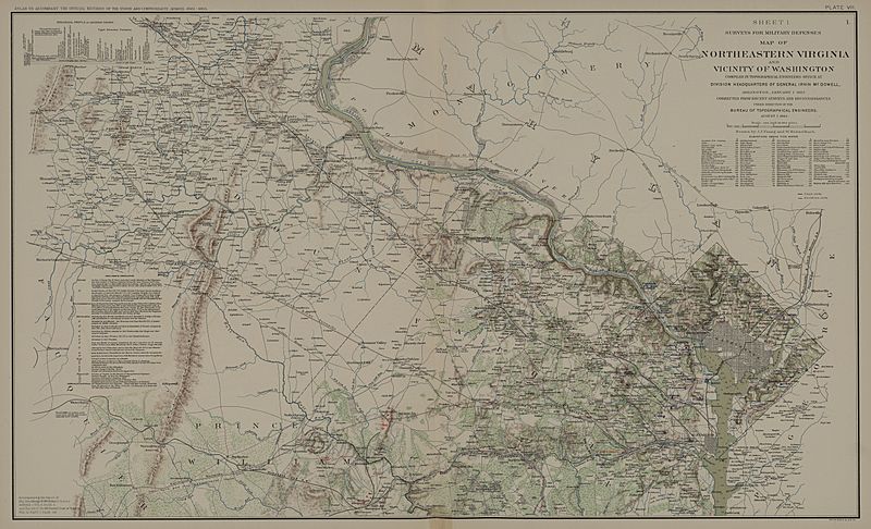
Description: NORTHEASTERN VIRGINIA MAP 1.
Title: ATLAS OR NORTHEASTERN VIRGINIA MAP 1
Credit: United States, War Department. Atlas to Accompany the Official Records of the Union and Confederate Armies. Washington, D.C.: Government Printing Office, 1891 (2 vols.).
Author: United States, War Department.
Usage Terms: Public domain
License: Public domain
Attribution Required?: No
Image usage
The following 4 pages link to this image:

All content from Kiddle encyclopedia articles (including the article images and facts) can be freely used under Attribution-ShareAlike license, unless stated otherwise.