
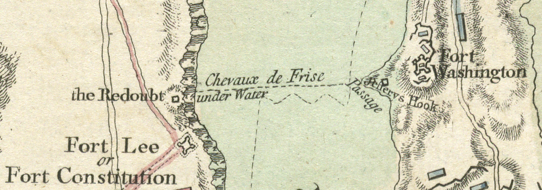
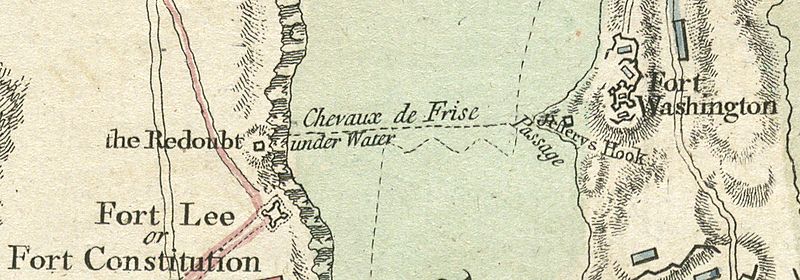
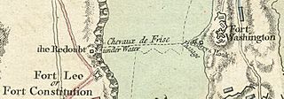
Image: A plan of the operations of the King's army, Chevaux de Frise between Fort Lee and Fort Washington, detail
Size of this preview: 800 × 280 pixels. Other resolutions: 320 × 112 pixels | 1,059 × 371 pixels.
Original image (1,059 × 371 pixels, file size: 760 KB, MIME type: image/jpeg)
Description: Full map title: A plan of the operations of the King's army under the command of General Sr. William Howe, K.B. in New York and east New Jersey against the American forces commanded by General Washington, from the 12th. of October, to the 28th. of November 1776, wherein is particularly distinguished the engagement on the White Plains, the 28th. of October.
Title: Chevaux de Frise between Fort Lee and Fort Washington
Credit: Norman B. Leventhal Map Center at the Boston Public Library
Author: Claude Joseph Sauthier
Usage Terms: Public domain
License: Public domain
Attribution Required?: No
Image usage
The following 3 pages link to this image:

All content from Kiddle encyclopedia articles (including the article images and facts) can be freely used under Attribution-ShareAlike license, unless stated otherwise.