
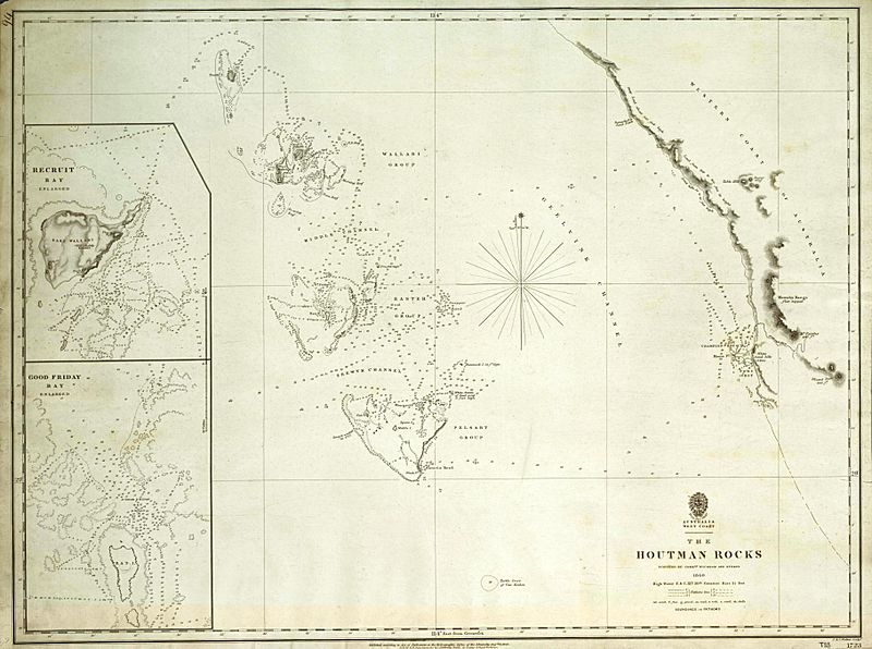
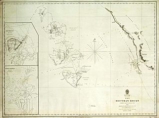
Image: Admiralty Chart No 1723 The Houtman Rocks, Published 1845

Description: This is an image of British Admiralty Chart 1723, entitled "The Houtman Rocks". It shows an archipelago off the west coast of Australia now known as the Houtman Abrolhos. This map was published in 1845 based on a survey undertaken by John Clements Wickham and John Lort Stokes on board HMS Beagle in 1840. This is a scan of the copy belonging to the National Library of Australia (NLA). It has been slightly cropped, and colour balanced.
Title: Admiralty Chart No 1723 The Houtman Rocks, Published 1845
Credit: Access to the original NLA scan is available at http://www.nla.gov.au/apps/cdview?pi=nla.map-t33-e. The graphical user interface provided does not support downloading the full image at full resolution, but the back end can be cajoled to do so by manually editing the CGI arguments in the url, to http://www.nla.gov.au/lizardtech/iserv/getimage?cat=NLAObjects&img=/nla.map/t/000/33/nla.map-t00033-sd.sid&oif=jpeg&rgn=0,0,1,1&cmd=zoomin&wid=3752&hei=2831.
Author: John Clements Wickham, John Lort Stokes, British Admiralty.
Permission: This work created by the United Kingdom Government is in the public domain. This is because it is one of the following: It is a photograph taken prior to 1 June 1957; or It was published prior to 1971; or It is an artistic work other than a photograph or engraving (e.g. a painting) which was created prior to 1971. HMSO has declared that the expiry of Crown Copyrights applies worldwide (ref: HMSO Email Reply) More information. See also Copyright and Crown copyright artistic works.
Usage Terms: Public domain
License: Public domain
Attribution Required?: No
Image usage
The following 2 pages link to this image:
