
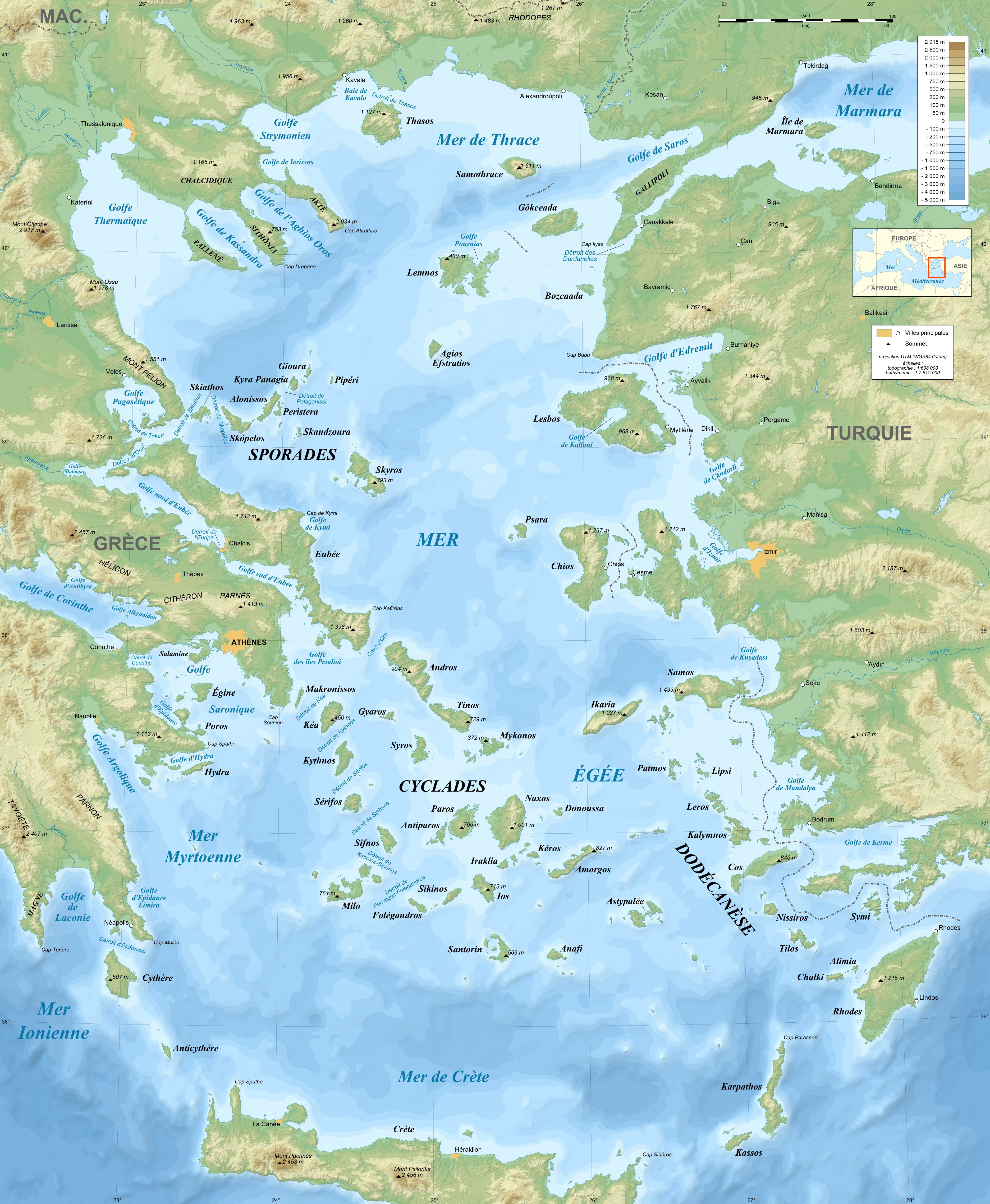
Image: Aegean Sea map bathymetry-fr
Description: Bathymetric map in French of the Aegean Sea, Mediterranean Sea.
Title: Aegean Sea map bathymetry-fr
Credit: Own work ; Sources of data: Topography: NASA Shuttle Radar Topography Mission (SRTM3 v.2) (public domain); Bathymetry: NGDC ETOPO1 (public domain); Reference used for the additional data : ViaMichelin; Translation of the Greek and Turkish names into French: fr:Cédric Boissière and fr:Phso2.
Author: Eric Gaba (Sting - fr:Sting)
Permission: Attribution and Share-Alike required Any use of this map can be made as long as you credit me (Eric Gaba – Wikimedia Commons user: Sting) as the author and distribute the copies and derivative works under the same license(s) that the one(s) stated below. A message with a reply address would also be greatly appreciated.
Usage Terms: GNU Free Documentation License
License: GFDL
License Link: http://www.gnu.org/copyleft/fdl.html
Attribution Required?: Yes
Image usage
The following page links to this image:
