
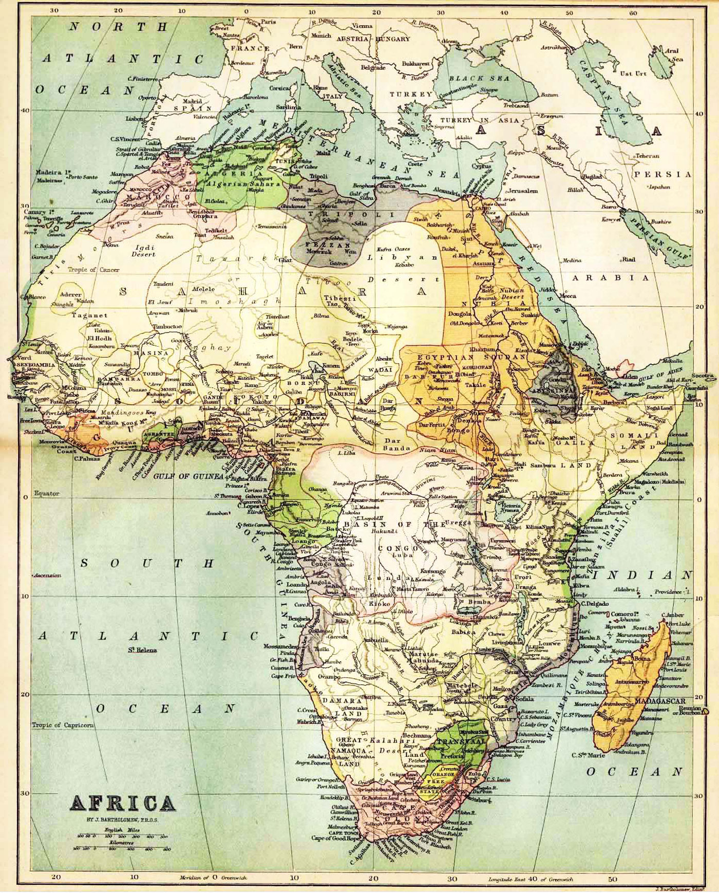
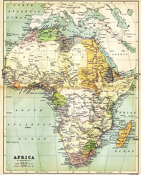
Image: African map 1885
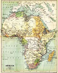
Size of this preview: 483 × 600 pixels. Other resolutions: 193 × 240 pixels | 1,400 × 1,738 pixels.
Original image (1,400 × 1,738 pixels, file size: 793 KB, MIME type: image/jpeg)
Description: Historical map of Africa by J. Bartholomew, F.R.G.S. John Bartholomew (1831 – 1893), a Scottish cartographer, born in Edinburgh. The image shows a political map with the knowledge about Africa in the year 1885.
Usage Terms: Public domain
Image usage
The following page links to this image:

All content from Kiddle encyclopedia articles (including the article images and facts) can be freely used under Attribution-ShareAlike license, unless stated otherwise.