
Image: Alberta's Special Areas
Size of this preview: 355 × 600 pixels. Other resolutions: 142 × 240 pixels | 1,741 × 2,941 pixels.
Original image (1,741 × 2,941 pixels, file size: 156 KB, MIME type: image/png)
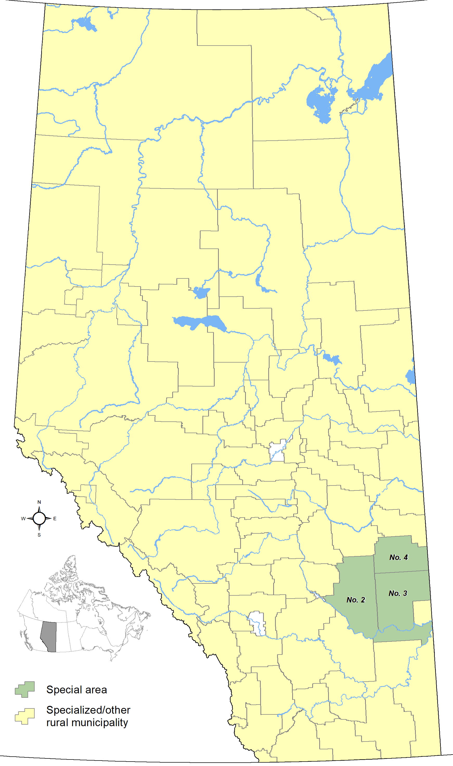
Description: Map showing locations of Alberta's 3 special areas as of October 2013, with base reference features (major lakes and rivers).
Title: Alberta's Special Areas
Credit: Own work
Author: Hwy43
Usage Terms: Creative Commons Attribution 3.0
License: CC BY 3.0
License Link: http://creativecommons.org/licenses/by/3.0
Attribution Required?: Yes
Image usage
There are no pages that link to this image.

All content from Kiddle encyclopedia articles (including the article images and facts) can be freely used under Attribution-ShareAlike license, unless stated otherwise.