
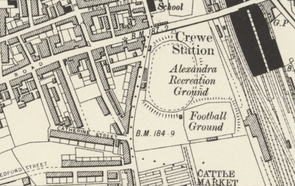
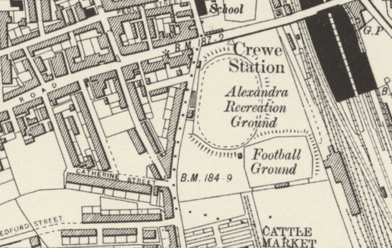
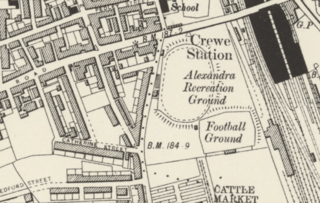
Image: Alexandra Recreation Ground - 1888 OS map detail
Size of this preview: 800 × 506 pixels. Other resolutions: 320 × 203 pixels | 1,125 × 712 pixels.
Original image (1,125 × 712 pixels, file size: 649 KB, MIME type: image/png)
Description: Detail of 1888 OS map showing Alexandra Recreation Ground in Crewe
Title: Alexandra Recreation Ground - 1888 OS map detail
Credit: Detailed Old Victorian Ordnance Survey 6 inch to 1 mile Old Map (1888-1913) of , Crewe, Cheshire, United Kingdom
Author: Ordnance Survey
Usage Terms: Creative Commons Attribution 4.0
License: CC BY 4.0
License Link: https://creativecommons.org/licenses/by/4.0
Attribution Required?: Yes
Image usage
The following page links to this image:

All content from Kiddle encyclopedia articles (including the article images and facts) can be freely used under Attribution-ShareAlike license, unless stated otherwise.