
Image: Anglo-Zanzibar war map

Size of this preview: 740 × 600 pixels. Other resolutions: 296 × 240 pixels | 818 × 663 pixels.
Original image (818 × 663 pixels, file size: 265 KB, MIME type: image/png)
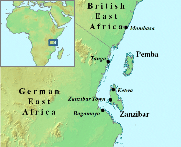
Description: A map showing Zanzibar Town's location in Zanzibar, and Zanzibar's location relative to Africa.
Title: Anglo-Zanzibar war map
Credit: Transferred from en.wikipedia to Commons.
Author: Mike Christie at English Wikipedia
Usage Terms: Creative Commons Attribution 3.0
License: CC BY 3.0
License Link: https://creativecommons.org/licenses/by/3.0
Attribution Required?: Yes
Image usage
The following 2 pages link to this image:

All content from Kiddle encyclopedia articles (including the article images and facts) can be freely used under Attribution-ShareAlike license, unless stated otherwise.