
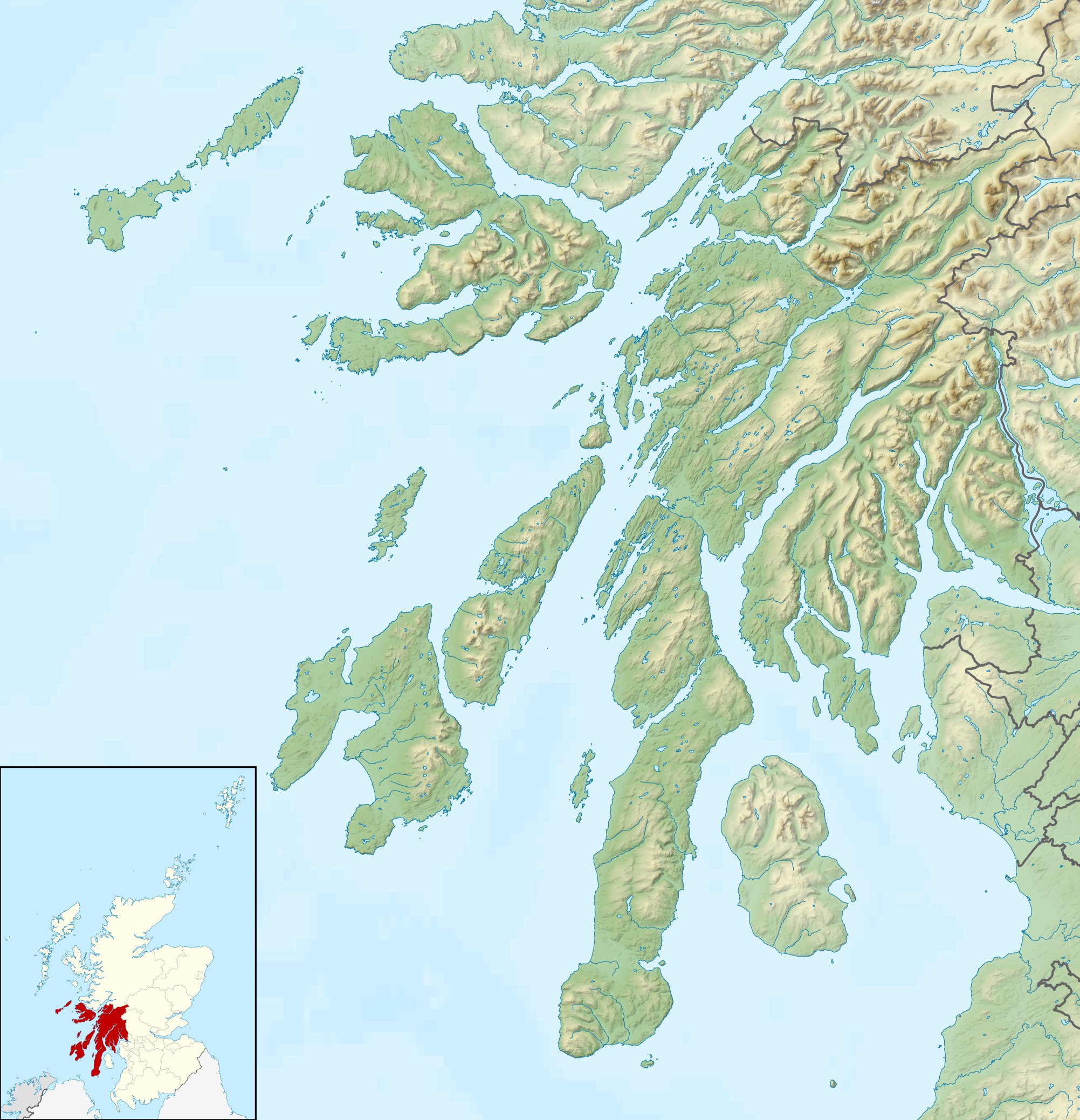
Image: Argyll and Bute UK relief location map
Description: Relief map of Argyll and Bute, UK. Equirectangular map projection on WGS 84 datum, with N/S stretched 175% Geographic limits: West: 7.2W East: 4.5W North: 56.8N South: 55.2N
Title: Argyll and Bute UK relief location map
Credit: Ordnance Survey OpenData. Relief data from Land-Form Panorama product. Administrative borders and coastline data from Boundary-Line product. All other geographic data from Meridian 2 product. Inset derived from derived from File: United Kingdom location map.svg by NordNordWest.
Author: Nilfanion, created using Ordnance Survey data
Permission: This file is licensed under the Creative Commons Attribution-Share Alike 3.0 Unported license. Attribution: Contains Ordnance Survey data © Crown copyright and database right You are free: to share – to copy, distribute and transmit the work to remix – to adapt the work Under the following conditions: attribution – You must give appropriate credit, provide a link to the license, and indicate if changes were made. You may do so in any reasonable manner, but not in any way that suggests the licensor endorses you or your use. share alike – If you remix, transform, or build upon the material, you must distribute your contributions under the same or compatible license as the original. https://creativecommons.org/licenses/by-sa/3.0 CC BY-SA 3.0 Creative Commons Attribution-Share Alike 3.0 truetrue
Usage Terms: Creative Commons Attribution-Share Alike 3.0
License: CC BY-SA 3.0
License Link: https://creativecommons.org/licenses/by-sa/3.0
Attribution Required?: Yes
Image usage
The following 45 pages link to this image:
- A' Chrois
- Achagoyle Bay
- Aros Castle
- Asknish Bay
- Beinn Bheigeir
- Beinn Fhionnlaidh (Creran)
- Ben More (Mull)
- Bishop's Glen Reservoir
- Campbeltown Loch
- Cowal
- Cuil Bay
- Dunagoil
- Ettrick Bay
- Helensburgh
- Holy Loch
- Inninmore Bay
- Kames Bay, Loch Melfort
- Loch Avich
- Loch Awe
- Loch Bà (Mull)
- Loch Dochard
- Loch Eck
- Loch Fyne
- Loch Goil
- Loch Laidon
- Loch Long
- Loch Loskin
- Loch Restil
- Loch Ruel
- Loch Scridain
- Loch Striven
- Loch Tulla
- Loch an Sgoltaire
- Loch na Keal
- Lochan na h-Achlaise
- Machir Bay
- Machrihanish Bay
- Rinns of Islay
- Rosneath
- Ruvaal Lighthouse
- Skipness Castle
- Stonefield Castle
- Strachur Bay
- Succoth, Argyll
- Tail of the Bank
