
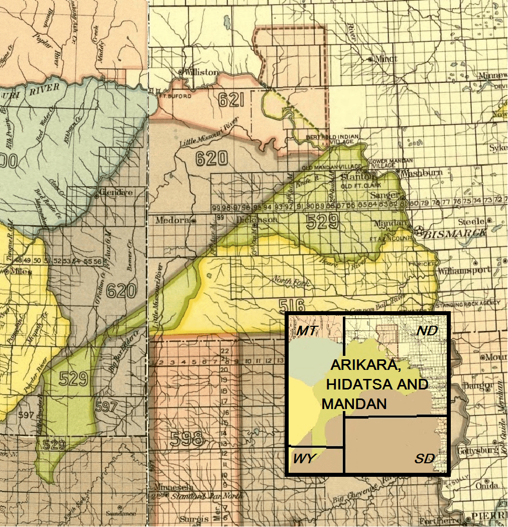
Image: Arikara, Hidatsa and Mandan 1851 treaty territory. (Area 529, 620 and 621 south of the Missouri)
Size of this preview: 578 × 600 pixels. Other resolutions: 231 × 240 pixels | 1,012 × 1,050 pixels.
Original image (1,012 × 1,050 pixels, file size: 2.06 MB, MIME type: image/png)
Description: Map indicating the Arikara, Hidatsa and Mandan Indian territory as described in the Treaty of Fort Laramie (1851), North Dakota
Usage Terms: Public domain
Image usage
The following 6 pages link to this image:

All content from Kiddle encyclopedia articles (including the article images and facts) can be freely used under Attribution-ShareAlike license, unless stated otherwise.
.png)