
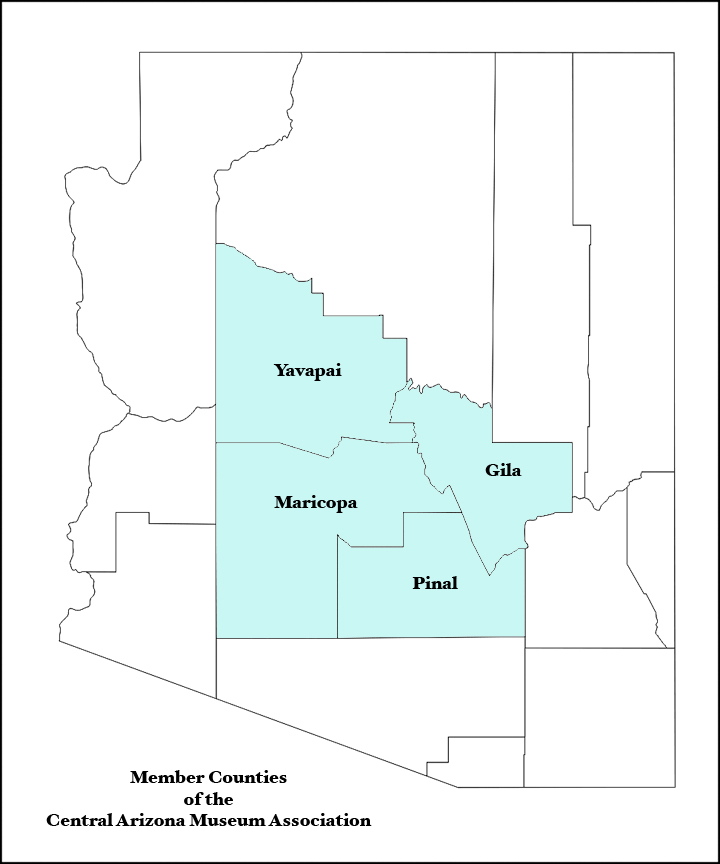
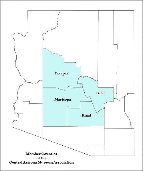
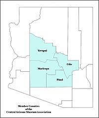
Image: Arizona map showing counties served by the Central Arizona Museum Association
Size of this preview: 500 × 600 pixels. Other resolutions: 200 × 240 pixels | 720 × 864 pixels.
Original image (720 × 864 pixels, file size: 151 KB, MIME type: image/jpeg)
Description: Map of Arizona counties that are served by the Central Arizona Museum Association
Title: Arizona map showing counties served by the Central Arizona Museum Association
Credit: I began with a Public domain map courtesy of The General Libraries, The University of Texas at Austin, modified to show counties. Released under GFDL. See Wikipedia:U.S. county maps.) I then filled the counties that CAMA serves with color and labeled them.
Author: Camamember
Usage Terms: Creative Commons Attribution-ShareAlike 3.0
License: CC-BY-SA-3.0
License Link: https://creativecommons.org/licenses/by-sa/3.0/
Attribution Required?: Yes
Image usage
The following page links to this image:

All content from Kiddle encyclopedia articles (including the article images and facts) can be freely used under Attribution-ShareAlike license, unless stated otherwise.