
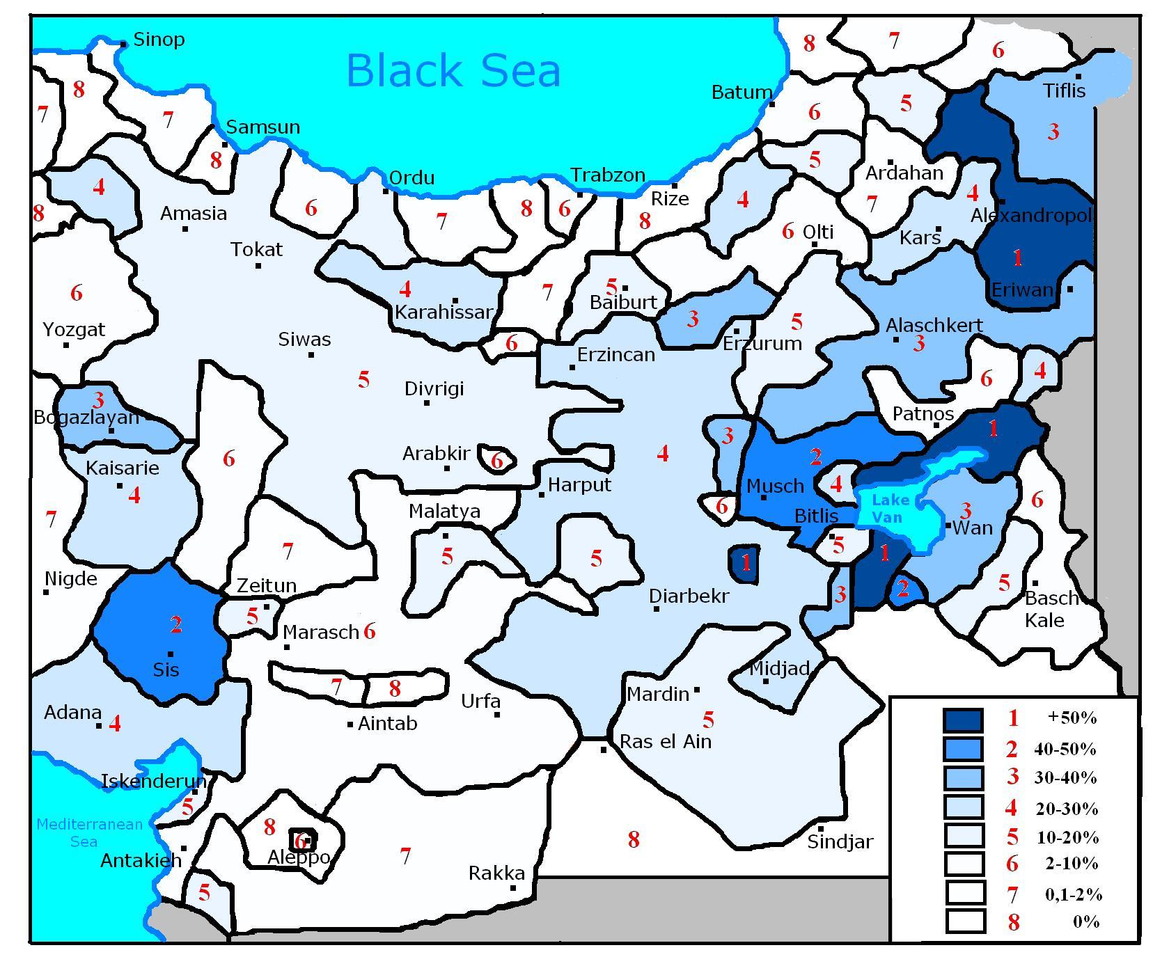
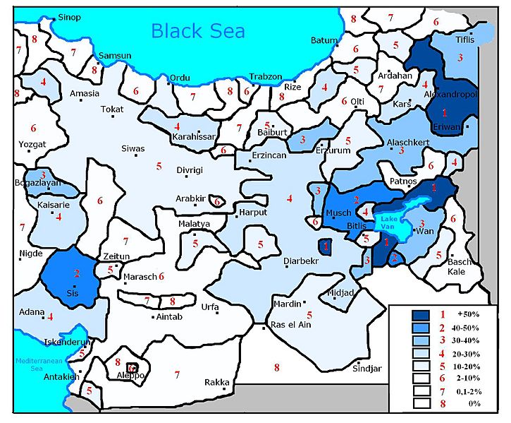
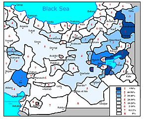
Image: Armenian population in Eastern Anatolia (1896)
Size of this preview: 725 × 599 pixels. Other resolutions: 290 × 240 pixels | 1,679 × 1,388 pixels.
Original image (1,679 × 1,388 pixels, file size: 332 KB, MIME type: image/jpeg)
Description: Map of the Armenian population of Eastern Anatolia in 1896. I created this by using the information from this map File:Armenian_population_map_1896.jpg
Title: Armenian population in Eastern Anatolia (1896)
Credit: Own work based on File:Armenian population map 1896.jpg
Author: DragonTiger23
Usage Terms: Public domain
License: Public domain
Attribution Required?: No
Image usage
The following page links to this image:

All content from Kiddle encyclopedia articles (including the article images and facts) can be freely used under Attribution-ShareAlike license, unless stated otherwise.
.JPG)