
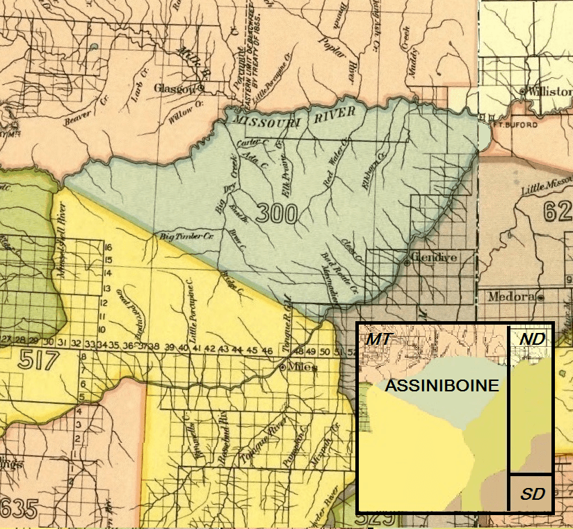
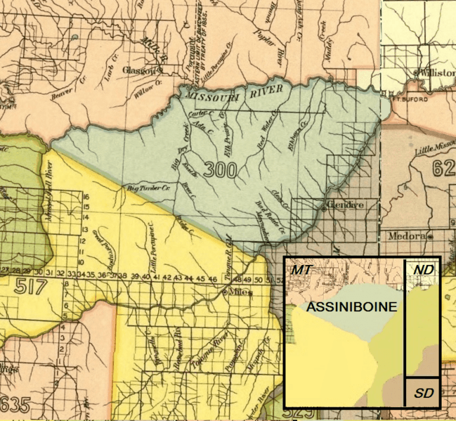
Image: Assiniboine 1851 treaty territory. (Area 300)
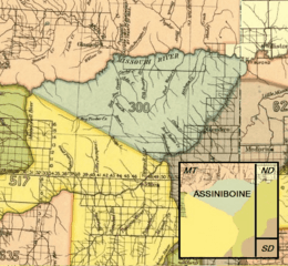
Size of this preview: 649 × 599 pixels. Other resolutions: 260 × 240 pixels | 824 × 761 pixels.
Original image (824 × 761 pixels, file size: 1.18 MB, MIME type: image/png)
Description: Map showing the Assiniboine Indian territory as described in the Treaty of Fort Laramie (1851), Montana
Usage Terms: Public domain
Image usage
The following page links to this image:

All content from Kiddle encyclopedia articles (including the article images and facts) can be freely used under Attribution-ShareAlike license, unless stated otherwise.
.png)