
Image: Atascadero-creek-north-of-more-mesa
Size of this preview: 800 × 548 pixels. Other resolutions: 320 × 219 pixels | 2,802 × 1,920 pixels.
Original image (2,802 × 1,920 pixels, file size: 3.21 MB, MIME type: image/jpeg)
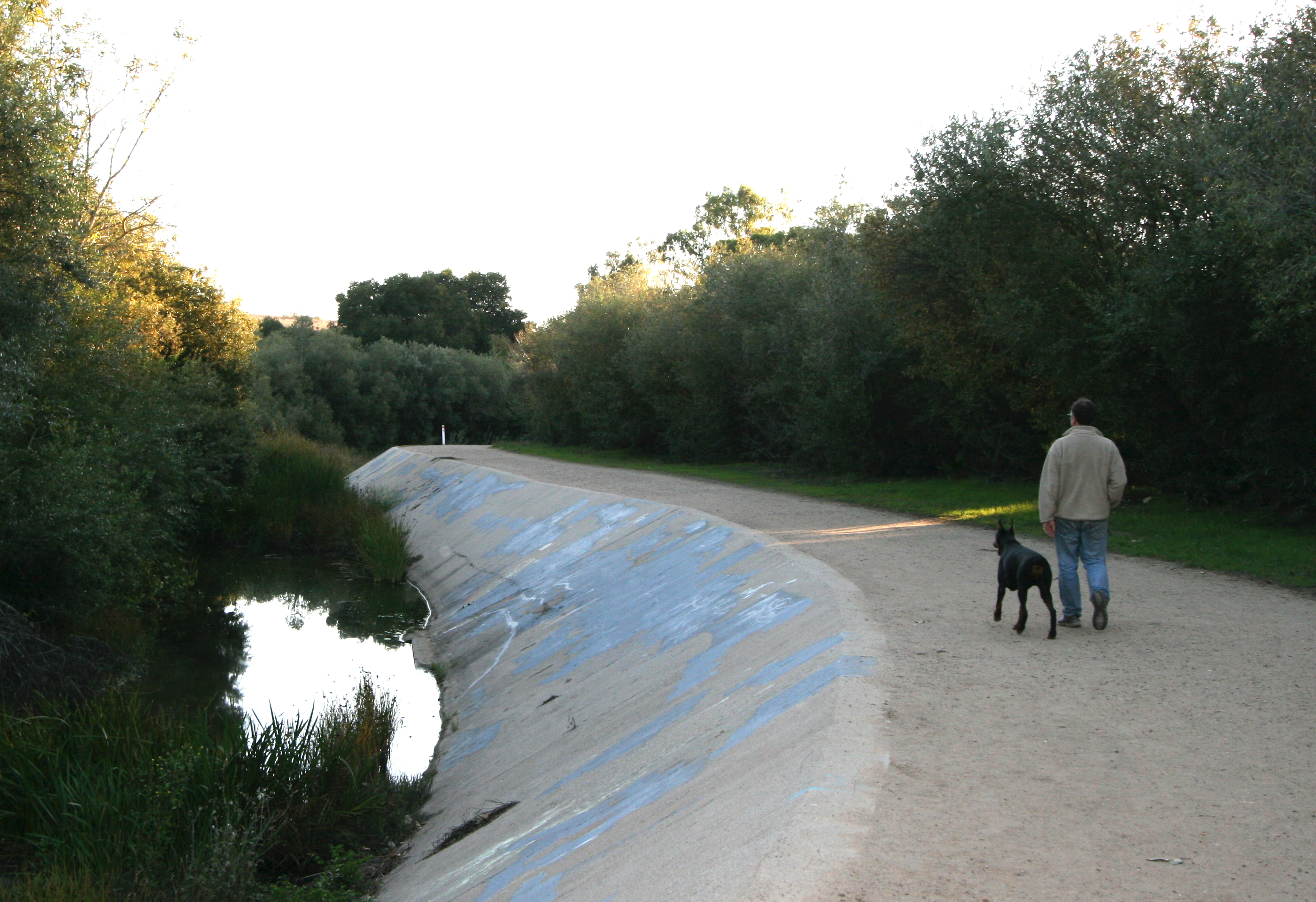
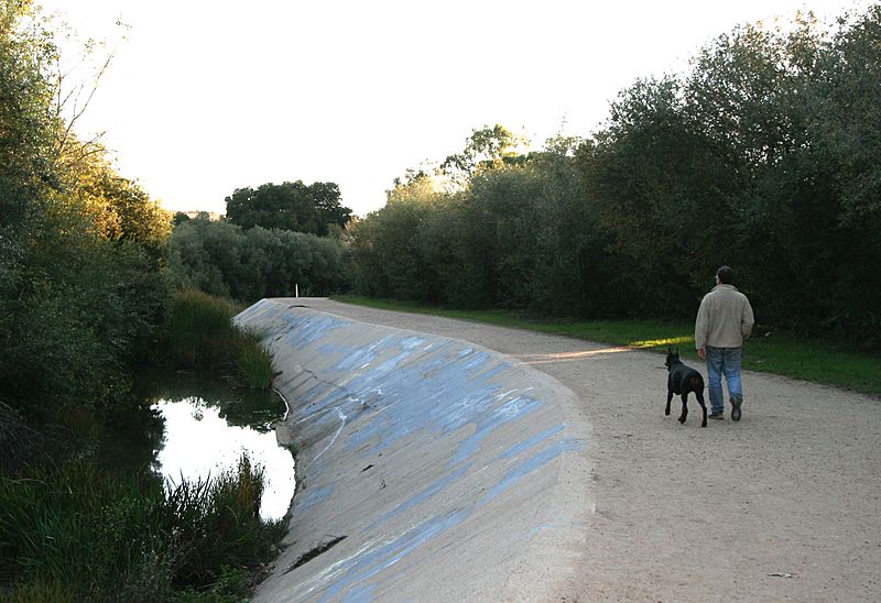
Description: This view of Atascadero Creek runs along the north edge of More Mesa in Santa Barbara, California. Here you feel like you're in the middle of nowhere, but civilization is just steps away. This nature trail is popular with pedestrians, cyclists and equestrians alike. It runs from Modoc Road to Highway 217 in Goleta.
Title: Atascadero-creek-north-of-more-mesa
Credit: Own work
Author: DillyLynn
Usage Terms: Creative Commons Attribution-Share Alike 3.0
License: CC BY-SA 3.0
License Link: https://creativecommons.org/licenses/by-sa/3.0
Attribution Required?: Yes
Image usage
The following page links to this image:

All content from Kiddle encyclopedia articles (including the article images and facts) can be freely used under Attribution-ShareAlike license, unless stated otherwise.