
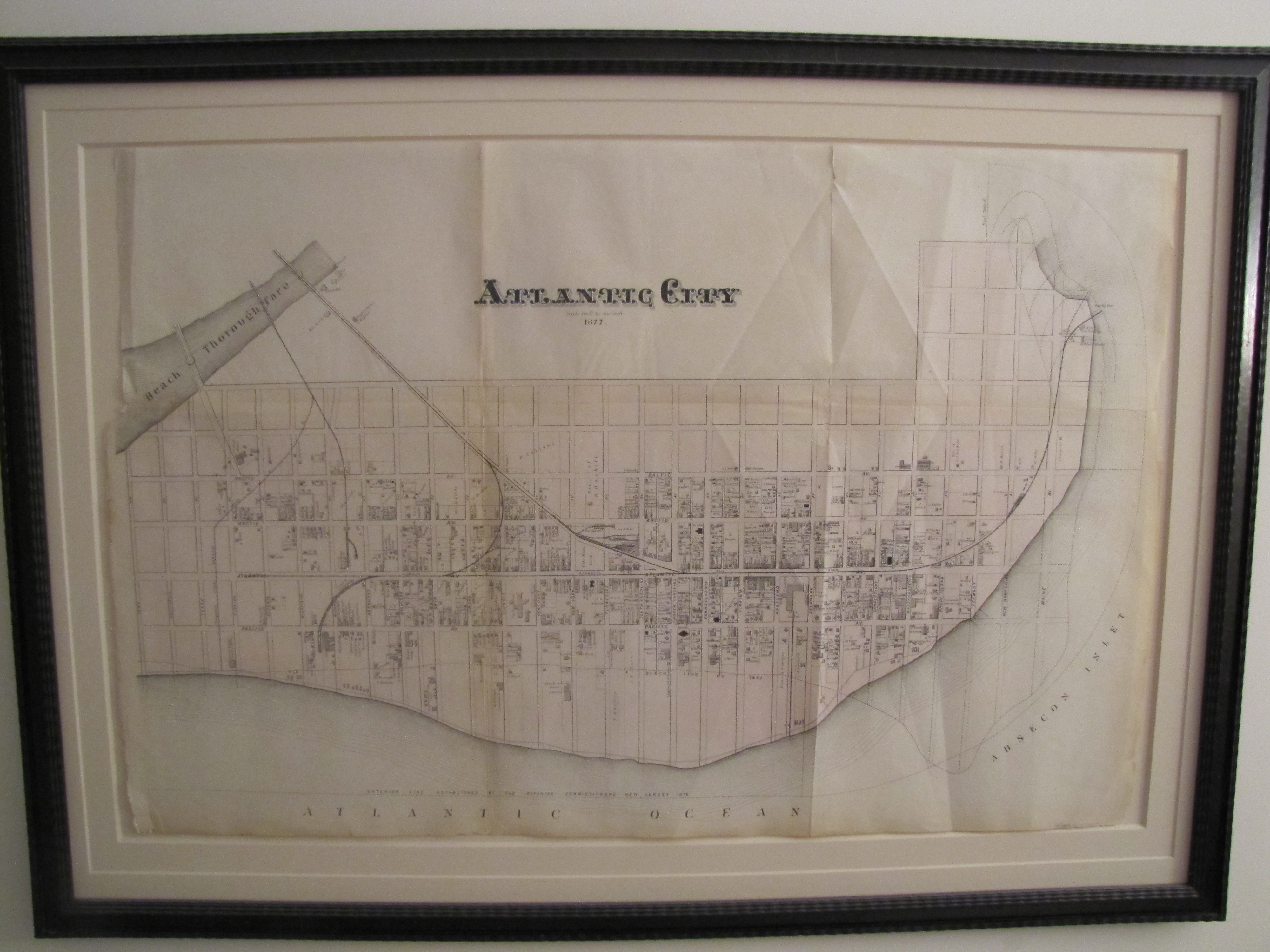
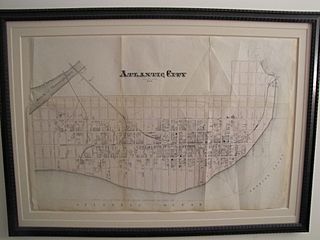
Image: Atlantic City Map 1877
Size of this preview: 800 × 600 pixels. Other resolutions: 320 × 240 pixels | 4,000 × 3,000 pixels.
Original image (4,000 × 3,000 pixels, file size: 2.46 MB, MIME type: image/jpeg)
Description: A map of Atlantic City from 1877 - picture of the framed original (which I own). Of special interest is a notation of the 1852 coastline, and the boardwalk to the U.S. Hotel.
Title: Atlantic City Map 1877
Credit: Own work
Author: DanGreenberg
Usage Terms: Creative Commons Attribution-Share Alike 3.0
License: CC BY-SA 3.0
License Link: http://creativecommons.org/licenses/by-sa/3.0
Attribution Required?: Yes
Image usage
The following 2 pages link to this image:

All content from Kiddle encyclopedia articles (including the article images and facts) can be freely used under Attribution-ShareAlike license, unless stated otherwise.