
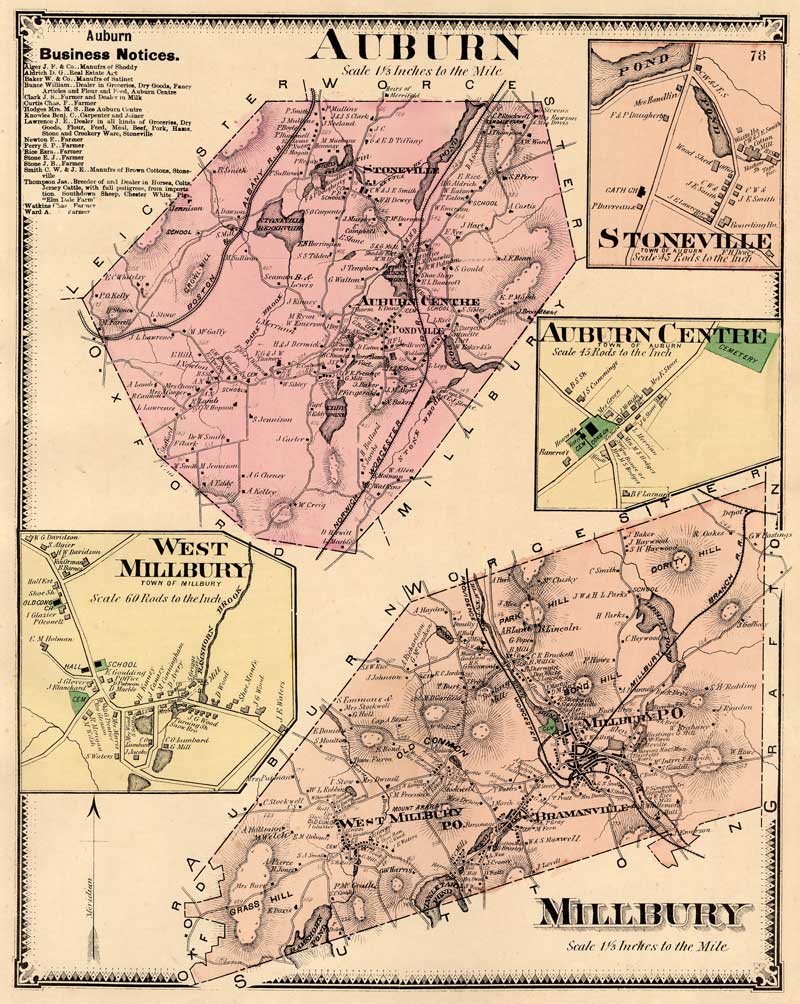
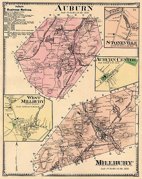
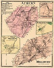
Image: AuburnMap1870
Size of this preview: 478 × 600 pixels. Other resolutions: 191 × 240 pixels | 800 × 1,004 pixels.
Original image (800 × 1,004 pixels, file size: 175 KB, MIME type: image/jpeg)
Description: Hand-colored map of Auburn and Millbury, Massachusetts
Title: AuburnMap1870
Credit: Reproduced from F. W. Beers' Atlas of Worcester County, Massachusetts
Author: Based on surveys by F. W. Beers and George P. Sanford, engraved by Louis Neuman and lithographed by Charles Hart
Permission: Copyright expired as publication of map pre-dates 1923 -- see below
Usage Terms: Public domain in the United States
License: PD-US
License Link: //en.wikipedia.org/wiki/File:AuburnMap1870.jpg
Image usage
The following page links to this image:

All content from Kiddle encyclopedia articles (including the article images and facts) can be freely used under Attribution-ShareAlike license, unless stated otherwise.