
Image: Avondale-Gila and Salt River Meridan-1
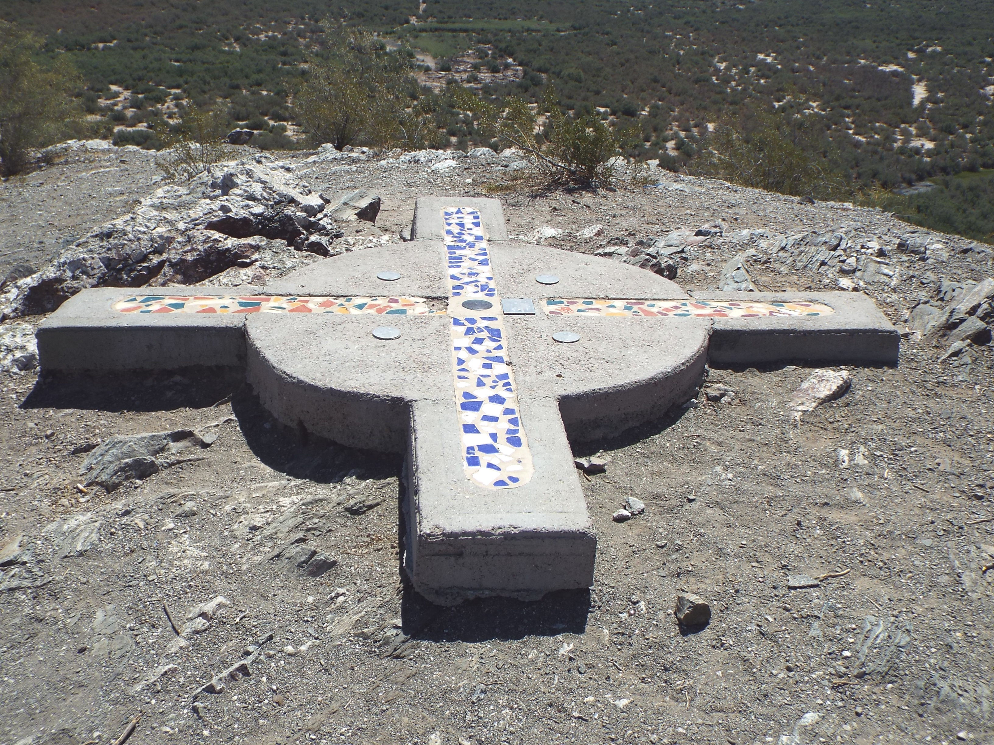
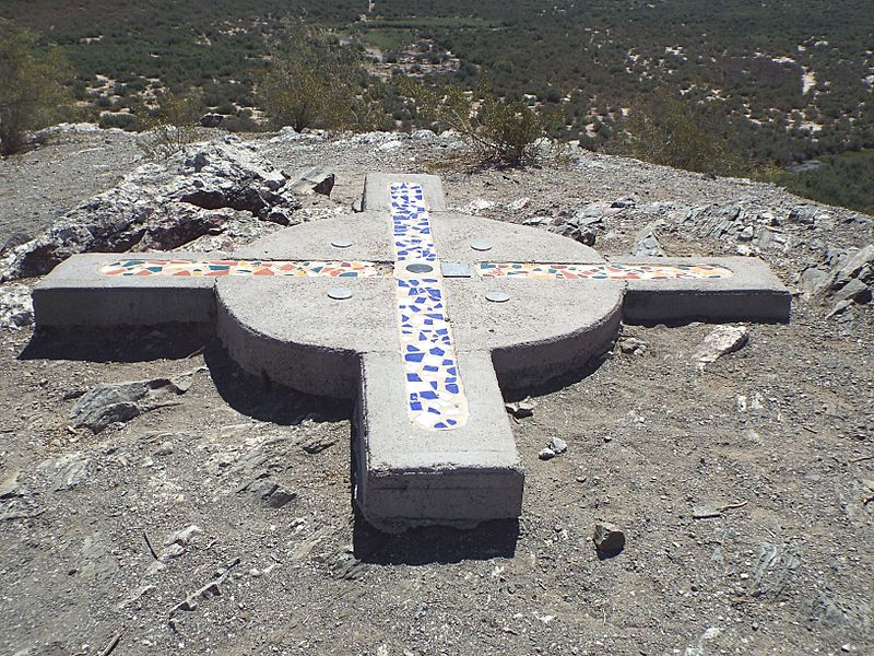
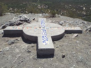
Description: The initial point of the Gila and Salt River Meridan. Period of significance: 1850-1874.The surveying marker of the Gila and Salt River Meridan is located on Monument Mountain. Ever since 1851, this has been the center point used by the state to measure the land in Arizona. The federal government recognized this point for measuring the boundary between the United States and Mexico after the Mexican-American War ended. The first survey conducted in 1867, involved the first 36 miles of Arizona. Up until 1874, this was the epicenter of all surveying in Arizona for property deeds. Listed in the National Register of Historic Places on October 15, 2002, reference #02001137. The summit of Monument Hill is located at 115th Ave. and Baseline Road in Avondale, Az.Did You Know: Monument Hill Is An Important Arizona Spot
Title: Avondale-Gila and Salt River Meridan-1
Credit: Own work
Author: Marine 69-71
Usage Terms: Creative Commons Attribution-Share Alike 4.0
License: CC BY-SA 4.0
License Link: http://creativecommons.org/licenses/by-sa/4.0
Attribution Required?: Yes
Image usage
The following page links to this image:
