
Image: Bangor-International-Aerial
No higher resolution available.
Bangor-International-Aerial.jpg (699 × 533 pixels, file size: 142 KB, MIME type: image/jpeg)
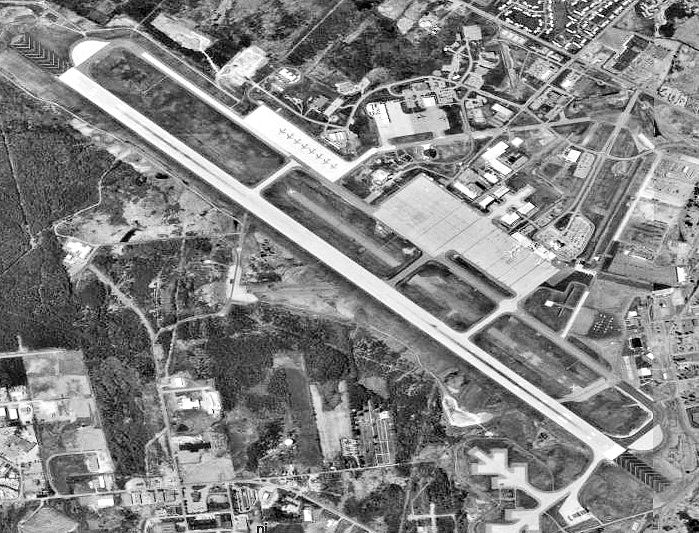
Description: Aerial view of Bangor International Airport.
Title: Bangor-International-Aerial
Credit: U.S. Geological Survey http://nationalmap.gov/. Satellite images from USGS National Map Viewer (Longitude: -68.81792; Latitude: 44.80767) Transferred from en.wikipedia to Commons by User:Studmult using CommonsHelper.
Author: USGS
Usage Terms: Public domain
License: Public domain
Attribution Required?: No
Image usage
The following page links to this image:

All content from Kiddle encyclopedia articles (including the article images and facts) can be freely used under Attribution-ShareAlike license, unless stated otherwise.