
Image: Basgen-Sahuarita-Airstrip
Size of this preview: 800 × 532 pixels. Other resolutions: 320 × 213 pixels | 3,008 × 2,000 pixels.
Original image (3,008 × 2,000 pixels, file size: 2.79 MB, MIME type: image/jpeg)
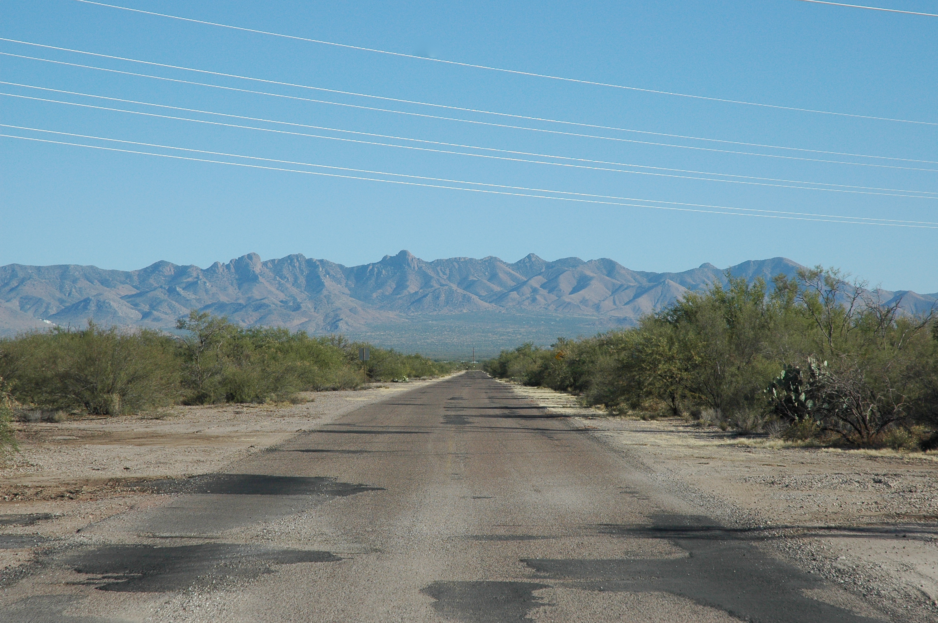
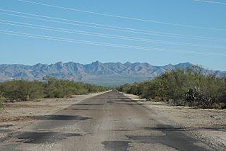
Description: A view of the old Sahuarita Airstrip, built in 1942. Long since decommissioned, the former airstrip is now a road leading to Sahuarita Park, the location of the former control towers. This photo is a South Eastern view of the roadway, with the Santa Rita Mountains in the background.
Title: Basgen-Sahuarita-Airstrip
Credit: Own work by the original uploader
Author: Brian Basgen
Usage Terms: Creative Commons Attribution-Share Alike 3.0
License: CC BY-SA 3.0
License Link: http://creativecommons.org/licenses/by-sa/3.0
Attribution Required?: Yes
Image usage
The following 2 pages link to this image:

All content from Kiddle encyclopedia articles (including the article images and facts) can be freely used under Attribution-ShareAlike license, unless stated otherwise.