
Image: Bearing and azimuth along the geodesic
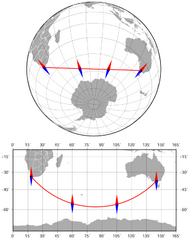
Size of this preview: 474 × 600 pixels. Other resolutions: 189 × 240 pixels | 632 × 800 pixels.
Original image (632 × 800 pixels, file size: 87 KB, MIME type: image/png)
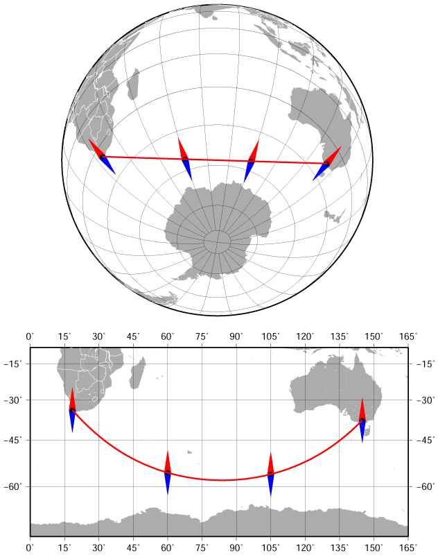
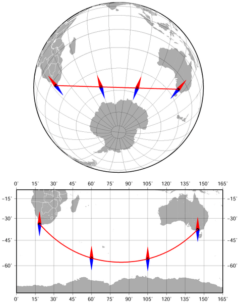
Description: The bearing and azimuth between Cape Town and Melbourne along the geodesic (the shortest route) change from 141° to 42°. Azimuthal orthographic projection (the upper map) and Miller cylindrical projection (the lower map). The map was created using the Generic Mapping Tools, GMT, version 5.1.1.
Title: Bearing and azimuth along the geodesic
Credit: Own work Created with Generic Mapping Tools (GMT)
Author: Darekk2
Usage Terms: Creative Commons Attribution-Share Alike 4.0
License: CC BY-SA 4.0
License Link: http://creativecommons.org/licenses/by-sa/4.0
Attribution Required?: Yes
Image usage
The following 3 pages link to this image:

All content from Kiddle encyclopedia articles (including the article images and facts) can be freely used under Attribution-ShareAlike license, unless stated otherwise.