
Image: Beausoleil Island map

Size of this preview: 705 × 599 pixels. Other resolutions: 282 × 240 pixels | 748 × 636 pixels.
Original image (748 × 636 pixels, file size: 180 KB, MIME type: image/png)
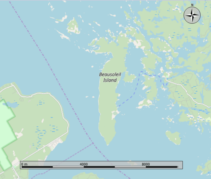
Description: Open Street Map showing Beausoleil Island in Ontario. Crop from the Marble program.
Title: Beausoleil Island map
Credit: Own work
Author: Oaktree b
Usage Terms: Creative Commons Attribution-Share Alike 4.0
License: CC BY-SA 4.0
License Link: https://creativecommons.org/licenses/by-sa/4.0
Attribution Required?: Yes
Image usage
The following page links to this image:

All content from Kiddle encyclopedia articles (including the article images and facts) can be freely used under Attribution-ShareAlike license, unless stated otherwise.