
Image: Belait mukims
No higher resolution available.
Belait_mukims.png (696 × 544 pixels, file size: 54 KB, MIME type: image/png)
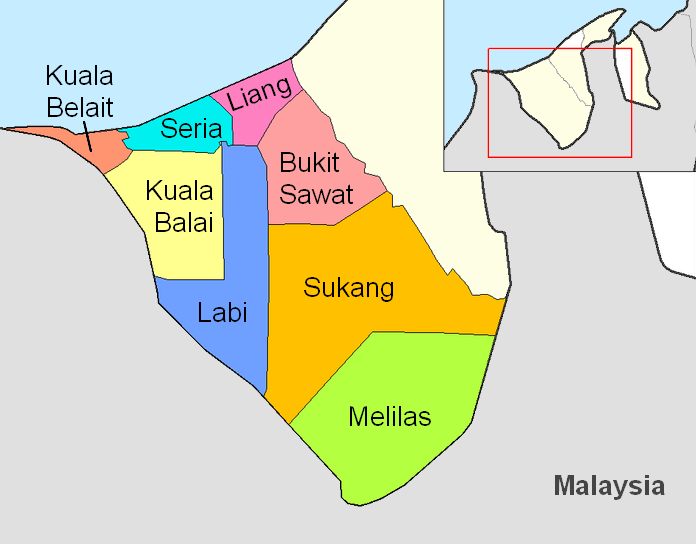
Description: Map of the mukims of the Belait district of Brunei. Created by Rarelibra 21:31, 11 September 2006 (UTC) for public domain use, using MapInfo Professional v8.5 and various mapping resources.
Title: Belait mukims
Credit: Transferred from en.wikipedia to Commons by Hanhil using CommonsHelper.
Author: Rarelibra at English Wikipedia
Usage Terms: Public domain
License: Public domain
Attribution Required?: No
Image usage
The following page links to this image:

All content from Kiddle encyclopedia articles (including the article images and facts) can be freely used under Attribution-ShareAlike license, unless stated otherwise.