
Image: Belgieovl
No higher resolution available.
Belgieovl.png (398 × 335 pixels, file size: 6 KB, MIME type: image/png)
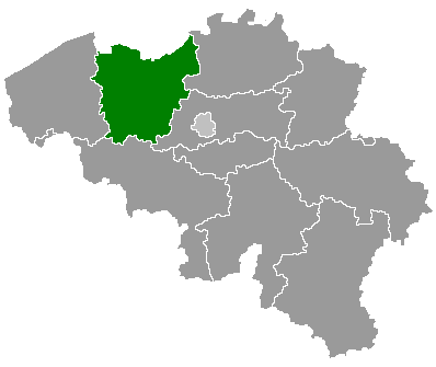
Description: Map of Belgium with the 3 regions togheter , with the province of East Flanders colored green.
Title: Belgieovl
Credit: Wikimedia Commons (Article 'Maps_of_Belgium')
Author: User 'Morwen'
Usage Terms: Creative Commons Attribution-Share Alike 3.0
License: CC-BY-SA-3.0
License Link: http://creativecommons.org/licenses/by-sa/3.0/
Attribution Required?: Yes
Image usage
The following 5 pages link to this image:

All content from Kiddle encyclopedia articles (including the article images and facts) can be freely used under Attribution-ShareAlike license, unless stated otherwise.