
Image: Boundary Stone (District of Columbia) SE 6 (view from east)
Size of this preview: 450 × 600 pixels. Other resolutions: 180 × 240 pixels | 1,688 × 2,250 pixels.
Original image (1,688 × 2,250 pixels, file size: 2.18 MB, MIME type: image/jpeg)
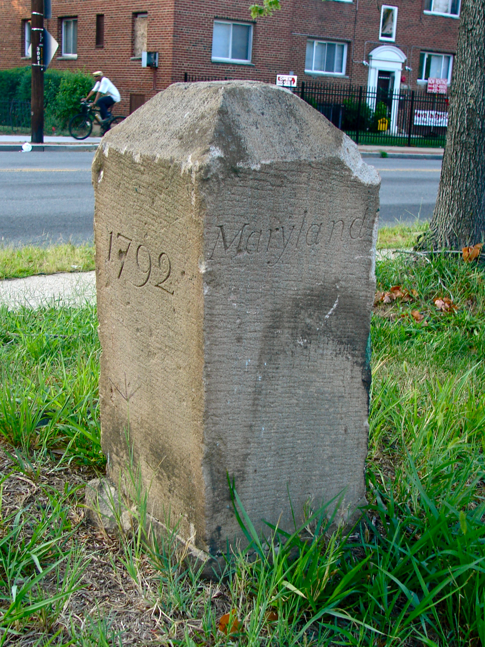
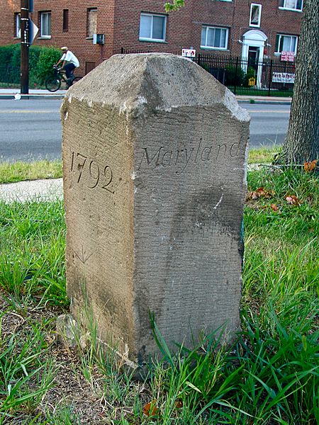
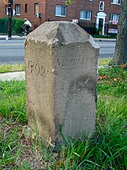
Description: Southeast No. 6 Boundary Marker of the Original District of Columbia on the NRHP since November 1, 1996. At 901 Southern Ave., Washington, D.C, as well as being in Prince George's County, Maryland. This is the view from the east, with the text reading "1792" on the SE face and "Maryland" on the NE face.
Title: Boundary Stone (District of Columbia) SE 6 (view from east)
Credit: Own work
Author: Smallbones
Usage Terms: Creative Commons Zero, Public Domain Dedication
License: CC0
License Link: http://creativecommons.org/publicdomain/zero/1.0/deed.en
Attribution Required?: No
Image usage
The following page links to this image:

All content from Kiddle encyclopedia articles (including the article images and facts) can be freely used under Attribution-ShareAlike license, unless stated otherwise.
_SE_6_(view_from_east).jpg)