
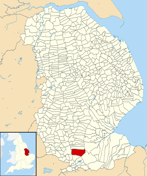
Image: Bourne Lincolnshire UK parish map

Description: Map of Lincolnshire, England, with Bourne parish highlighted. Equirectangular map projection on WGS 84 datum, with N/S stretched 165% Geographic limits: West: 1.11W East: 0.25E North: 54.20N South: 53.56N
Title: Bourne Lincolnshire UK parish map
Credit: File:Lincolnshire UK parish map (blank).svg
Author: File:Lincolnshire UK parish map (blank).svg: Nilfanion, created using Ordnance Survey data Derivative work: Robert_EA_Harvey
Permission: This file is licensed under the Creative Commons Attribution-Share Alike 3.0 Unported license. Attribution: Contains Ordnance Survey data © Crown copyright and database right You are free: to share – to copy, distribute and transmit the work to remix – to adapt the work Under the following conditions: attribution – You must attribute the work in the manner specified by the author or licensor (but not in any way that suggests that they endorse you or your use of the work). share alike – If you alter, transform, or build upon this work, you may distribute the resulting work only under the same or similar license to this one. http://creativecommons.org/licenses/by-sa/3.0 CC BY-SA 3.0 Creative Commons Attribution-Share Alike 3.0 truetrue
Usage Terms: Creative Commons Attribution-Share Alike 3.0
License: CC BY-SA 3.0
License Link: http://creativecommons.org/licenses/by-sa/3.0
Attribution Required?: Yes
Image usage
The following page links to this image:
