
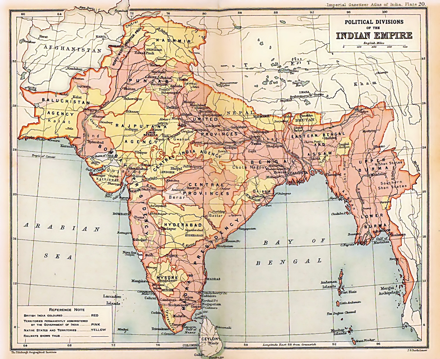
Image: British Indian Empire 1909 Imperial Gazetteer of India
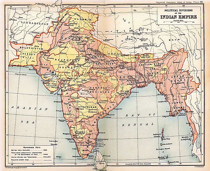
Size of this preview: 734 × 599 pixels. Other resolutions: 294 × 240 pixels | 1,498 × 1,223 pixels.
Original image (1,498 × 1,223 pixels, file size: 957 KB, MIME type: image/jpeg)
Description: Map of the British Indian Empire from Imperial Gazetteer of India
Title: British Indian Empire 1909 Imperial Gazetteer of India
Credit: Oxford University Press, 1909. Scanned and reduced from personal copy by Fowler&fowler«Talk» 18:10, 5 August 2007 (UTC)
Author: Edinburgh Geographical Institute; J. G. Bartholomew and Sons.
Usage Terms: Public domain
License: Public domain
Attribution Required?: No
Image usage
The following 15 pages link to this image:

All content from Kiddle encyclopedia articles (including the article images and facts) can be freely used under Attribution-ShareAlike license, unless stated otherwise.